
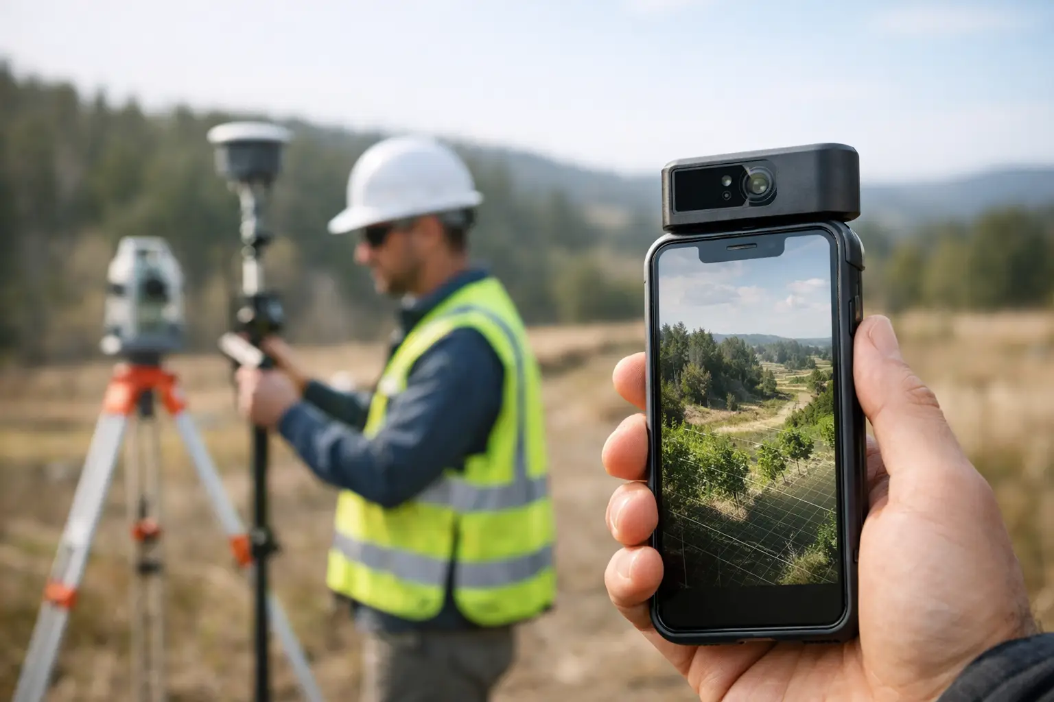
A site that would take days to measure with total stations and GNSS alone can often be captured in a few hours with a mobile lidar scanner for land surveys. That difference matters when access is restricted, traffic management is costly, or a contractor is waiting on reliable topographic data to keep a programme moving.
For professional buyers, the question is not whether mobile LiDAR is useful. It is where it fits, what level of accuracy is realistic, and whether the workflow stands up commercially. In land surveying, the value comes from faster coverage, denser spatial data and safer collection in environments where conventional methods become slow or inefficient.
What a mobile LiDAR scanner for land surveys actually does
A mobile LiDAR scanner records dense 3D point cloud data while the operator moves through the site. Depending on the system, that movement may be on foot, mounted on a vehicle, or integrated with a drone-based workflow. The scanner emits laser pulses, measures return times and builds a spatial model of terrain, structures, boundaries, corridors and surface features.
In land surveying, this changes the field method. Instead of collecting one point at a time, the operator captures a continuous dataset across the whole environment. That is particularly useful on complex sites where retaining walls, embankments, vegetation edges, kerb lines, facades and service corridors all need to be represented in a single survey output.
The commercial benefit is speed, but speed on its own is not enough. The real advantage is speed with traceable survey control, practical processing workflows and outputs that can support CAD, BIM, GIS or volumetric analysis.
Where mobile LiDAR delivers the strongest return
The best use cases are not always the largest sites. They are the sites where time on the ground is expensive, hazardous or operationally disruptive.
Construction and civil engineering teams use mobile systems to capture existing conditions before design, monitor progress, document earthworks and verify built assets. Utilities teams use them along roads, substations and service routes where access windows are short and traditional methods can create bottlenecks. Infrastructure managers benefit when they need consistent corridor data with enough density to support clearance assessment, asset location and surface modelling.
For topographic work, a mobile lidar scanner for land surveys is especially effective where the site contains a high volume of breaklines, level changes and hard detail. It can also help with stockpile measurement, drainage assessment, highway environments, quarry work and brownfield redevelopment.
That said, not every project suits a mobile approach. If the brief is a very small area with a limited number of defined points, conventional survey may still be more efficient. Likewise, if the requirement is millimetre-level detail on specific installed components, static scanning or targeted total station work may be the better fit.
Accuracy expectations in real survey conditions
Accuracy is where buyers need clarity. Mobile LiDAR is not one single performance category. Results depend on the scanner, the GNSS environment, IMU quality, survey control, operator method and post-processing discipline.
In open conditions with a strong positioning solution and proper control, mobile systems can achieve highly usable survey-grade results for many land and engineering applications. In dense urban streets, woodland, under bridges or beside tall structures, the positioning environment becomes more difficult. Drift, occlusion and degraded satellite visibility can affect the dataset if the workflow is not designed correctly.
This is why specification sheets only tell part of the story. A stated accuracy figure is useful, but the more relevant question is whether the full workflow can achieve the tolerance your project requires. If the output is for feasibility mapping, route planning or general site modelling, mobile LiDAR may be ideal. If the output supports legal boundary definition, deformation monitoring or precise set-out control, additional methods and checks are likely to be necessary.
Professional deployment means treating mobile LiDAR as part of a survey system, not as a standalone shortcut. Ground control, check points and sensible validation remain essential.
Why control still matters
Even with advanced SLAM and integrated GNSS, survey control provides the framework that turns fast capture into defensible output. It allows the point cloud to be tied into the required coordinate system, checked against known values and aligned with other datasets.
For organisations managing repeated surveys across multiple sites, that consistency becomes even more important. Reliable control supports change detection, phased construction comparison and clean integration with existing mapping.
Mobile LiDAR versus traditional methods
The comparison should be practical rather than ideological. Total stations, GNSS rovers, static laser scanners, drones and mobile LiDAR all have a place. The right choice depends on terrain, detail, access and final deliverables.
A total station remains excellent for precise discrete points, set-out and controlled feature capture. GNSS is efficient in open sky and ideal for many topographic tasks, but it becomes less effective under canopy or around built obstructions. Static laser scanning produces very high-detail data, though with more set-up positions and more time in the field. Drone LiDAR adds major value for larger areas, inaccessible ground and corridor mapping, but may involve airspace restrictions, permissions and weather limitations.
Mobile LiDAR sits in the middle as a productivity tool for dense 3D capture over operational land. It is often the best answer when you need more detail than conventional point collection provides, but without the field time burden of repeated static set-ups.
Choosing a mobile lidar scanner for land surveys
Selection should start with job requirements, not with headline range or marketing claims. A buyer should assess the likely survey environment, expected tolerance, deliverable format and the capability of the team who will operate and process the data.
Sensor quality matters, but so do positioning performance, software maturity and support. A scanner that captures quickly but creates slow, inconsistent processing is not efficient in real terms. Equally, a strong hardware platform without training and technical backup can leave a survey team underusing the equipment or introducing avoidable errors into production.
For UK organisations, practical support is often the deciding factor. Buyers need to know how quickly they can get advice, calibration guidance, workflow help and, if required, project assistance. This is one reason many professional users prefer to work with suppliers that understand both the equipment and the survey outcomes expected on live projects.
Questions worth asking before you buy
Ask what coordinate workflows the system supports, how it performs in poor GNSS conditions, what quality control tools are available in software and how easily data exports into your existing CAD or GIS environment. It is also worth asking what level of training is included and whether there is access to processing support when workloads increase.
The cheapest entry point is not always the lowest operating cost. If the system reduces revisits, shortens processing and produces dependable deliverables first time, it usually offers the better return.
Processing, deliverables and operational reality
Field capture is only half the job. The point cloud then needs to be registered, georeferenced, cleaned, classified and converted into usable outputs. Depending on the brief, that may include DTM generation, contours, cross-sections, measured linework, volumetric reports or 3D models.
This is where many organisations underestimate the workflow. Dense data is valuable, but it also needs storage, computing capacity and a clear production method. If your team is set up for conventional topographic drafting only, moving into mobile LiDAR may require changes in software, training and quality assurance.
Handled properly, though, the gain is significant. One well-executed capture can support multiple deliverables and reduce the need for return visits. It also creates a detailed site record that can be revisited digitally if additional measurements are needed later.
Buy equipment or outsource the survey?
That depends on survey frequency, staff capability and the commercial model of the business. If mobile LiDAR will be used regularly across infrastructure, development, utilities or asset programmes, owning the equipment can make strong financial sense. It gives the team control over deployment and can reduce dependence on subcontract availability.
If usage is occasional or the organisation is still evaluating workflows, outsourced delivery may be the better route. It allows the business to test outputs, understand accuracy in its own operating context and assess return on investment before committing to capital purchase.
Some buyers also take a hybrid route – using a specialist partner for initial projects while building internal capability over time. For firms that want both equipment access and operational support, LiDAR Tech UK works well because it combines supply, training and project delivery within the same geospatial offering.
What good looks like on a live project
A good mobile LiDAR survey is not just fast. It is planned around control, site constraints and deliverables from the start. The capture path makes sense, the positioning strategy reflects the environment, and the final dataset is checked against known values before issue.
When that happens, mobile LiDAR becomes more than a data collection tool. It becomes a way to reduce site time, improve safety, increase detail and keep downstream design or construction decisions moving with fewer delays.
The strongest results usually come from a simple principle: choose a mobile system because it suits the survey problem, not because it is the newest method. When the workflow matches the job, the technology earns its place very quickly.