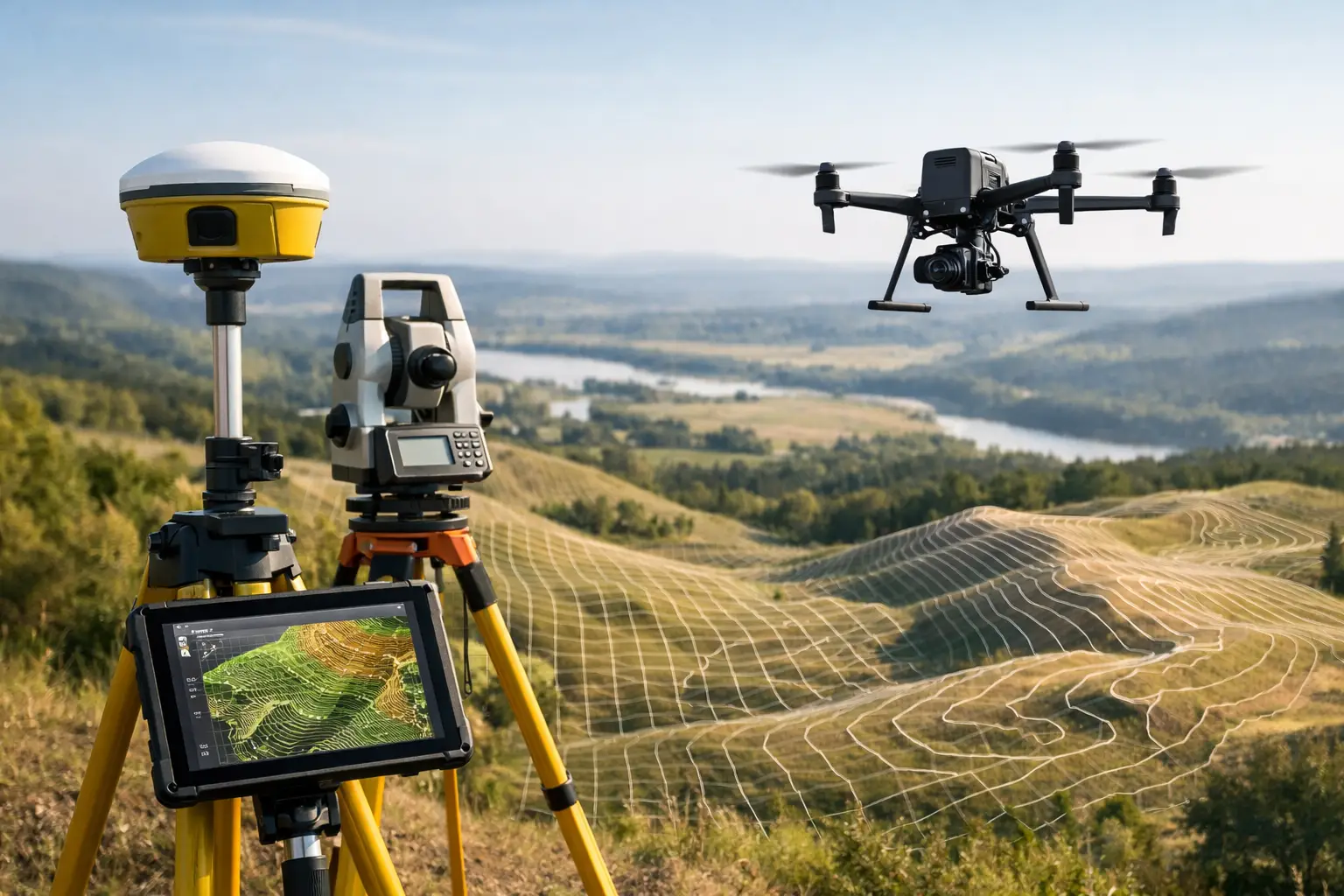
When a site needs current levels, contours and ground detail quickly, a topographic survey with drone can reduce days of field time to a matter of hours. That matters on live construction sites, infrastructure corridors and large land parcels where access, safety and programme pressure all affect how efficiently data can be captured.
The value is not simply speed. Drone survey workflows now give professional teams a practical way to collect dense spatial data across complex terrain, then turn it into CAD-ready surfaces, contours, orthomosaics and volumetric outputs. For many projects, that means faster decisions, fewer repeat visits and a clearer view of site conditions before design, excavation or asset works begin.
What a topographic survey with drone actually delivers
A topographic survey captures the shape of the ground and the visible features on it. In practice, that can include spot levels, breaklines, contours, kerbs, roads, embankments, stockpiles, drainage routes, buildings, fences and vegetation boundaries. When captured by drone, the survey is built from aerial imagery, LiDAR data or a combination of both, supported by GNSS control and post-processing.
The output is rarely just a map. Professional clients usually need deliverables that fit directly into design and engineering workflows. That may include a digital terrain model, digital surface model, georeferenced orthophoto, point cloud, contour set, measured sections or linework suitable for CAD and GIS environments.
The right output depends on the job. A housebuilder may need existing levels and earthworks quantities. A civil engineering contractor may need corridor mapping ahead of drainage design. A utilities team may need a clear ground model around access constraints and surface assets. The survey method should follow the commercial need, not the other way round.
Where drone topographic surveys make the most sense
Drone surveys are strongest where the site is large, uneven, difficult to access or time-sensitive. Quarries, solar farms, highways schemes, land development sites, rail-adjacent areas, floodplains and agricultural estates are all good examples. A drone can cover broad extents efficiently while keeping surveyors out of hazardous ground conditions and away from moving plant.
There is also a clear advantage on sites where regular updates are required. Progress tracking, cut and fill monitoring and stockpile measurement all benefit from repeatable aerial capture. With a consistent flight plan and control strategy, datasets can be compared over time to show measurable change.
That said, a drone is not automatically the best choice for every topographic brief. Small urban sites with heavy tree cover, narrow access and lots of hidden ground detail may still require a stronger terrestrial component. If the critical information sits beneath canopy or beside building overhangs, aerial photogrammetry alone may leave gaps.
Accuracy depends on method, control and site conditions
Accuracy is the first question serious buyers ask, and rightly so. A topographic survey with drone can achieve highly usable results for many engineering and construction applications, but headline accuracy claims only mean something when tied to a proper workflow.
Photogrammetry-based surveys rely on image quality, overlap, camera calibration, ground control, RTK or PPK positioning, flight height and good visibility of the ground. LiDAR-equipped drones add a major advantage where vegetation, low texture or uneven light make photogrammetry less reliable. They can produce more consistent ground information in challenging environments, especially where some canopy penetration is needed.
In UK practice, accuracy requirements should be defined at the start. There is a difference between data suitable for early feasibility, detailed design support and measured quantities for commercial reporting. Control points, check points and validation against known coordinates remain essential. Without that discipline, the dataset may look convincing while still falling short of specification.
This is where experienced deployment matters. Hardware capability is only one part of the result. Flight planning, GNSS correction quality, site control layout, processing settings and quality assurance all influence whether the final model stands up to scrutiny.
Photogrammetry or LiDAR for topographic work?
This is often the key technical decision. Photogrammetry is efficient, cost-effective and capable of very strong results on open sites with good surface visibility. It works well for earthworks, development land, stockpile measurement and general mapping where the ground can be clearly seen from above.
LiDAR becomes more attractive when the site includes vegetation, poor texture, shadow-heavy terrain or a need for cleaner bare-earth extraction. On infrastructure routes, wooded land, utility corridors and mixed rural terrain, LiDAR can provide a more dependable ground model. It also handles complex vertical geometry better in some environments, especially when paired with accurate GNSS and inertial data.
The trade-off is commercial as much as technical. LiDAR payloads and processing workflows typically come at a higher cost than standard drone photogrammetry. For some projects, that cost is easily justified by the data quality and reduced need for supplementary fieldwork. For others, photogrammetry remains the better fit because the required accuracy and site visibility do not warrant a LiDAR workflow.
The field process behind a dependable result
A professional drone survey starts well before take-off. Airspace status, site permissions, weather window, vegetation condition and required outputs should all be confirmed in advance. If the deliverable needs to support design or legal boundary-related work, tolerances and exclusions should be clearly stated from the outset.
On site, survey control is established or verified using GNSS or total station methods as appropriate. The drone mission is then planned around altitude, overlap, sensor type and site geometry. Obstructions, reflective surfaces, water bodies and active machinery all affect how the capture should be carried out.
After flying, the data moves into processing and quality control. Images or LiDAR observations are aligned, georeferenced and checked against control. Surfaces are classified, artefacts removed and outputs generated in the formats the client actually needs. If a contractor needs a terrain model for machine control planning, that should be built accordingly. If an architect needs background mapping for concept design, the output specification will be different.
Common limitations buyers should account for
A drone survey is not exempt from operational constraints. Weather remains a major factor in the UK, especially wind, rain and poor light. Tree canopy, standing water, reflective roofing and deep shadows can all affect data quality. Restricted airspace or congested urban settings may limit where and when flights can be carried out.
There is also the matter of obscured detail. Aerial data captures what the sensor can see. Features hidden under dense vegetation, beneath structures or inside enclosed compounds may still need terrestrial survey methods. On many projects, the best answer is not drone versus ground survey, but drone plus ground survey.
Decision-makers should also ask about processing standards, coordinate systems and deliverable compatibility. Fast capture is only useful if the output lands in the right format and reference frame for the wider project team.
What commercial teams should ask before appointing a provider
If the survey will inform design, quantities or asset records, the supplier should be able to explain expected accuracy, control methodology, sensor choice and QA process in plain terms. Asking what drone is used is less useful than asking how the result is validated.
It is also worth checking whether the provider can support more than data capture. Many projects benefit from a partner that can advise on sensor selection, process the data in-house, supply supporting GNSS or drone hardware where needed, and scale from one-off surveys to repeat site programmes. That combination reduces friction when survey requirements evolve mid-project.
For organisations that want to build internal capability as well as outsource fieldwork, this joined-up model is especially useful. LiDAR Tech UK operates in that space, supporting clients with professional survey technology, training and project delivery across the same geospatial workflow.
Why this method is now part of mainstream survey delivery
The strongest case for drone topographic surveying is not novelty. It is operational fit. When used properly, it improves coverage, shortens mobilisation time and produces dense datasets that support engineering, planning and site management decisions at pace. It also improves safety by reducing time spent in difficult or hazardous terrain.
Still, the right answer depends on the site, the tolerance and the intended use of the data. Open ground, large extents and repeat monitoring favour drone methods strongly. Heavily obstructed sites, dense canopy and detailed feature extraction may call for a blended approach with terrestrial instruments and, in some cases, LiDAR rather than imagery alone.
For professional buyers, that is the key point. A topographic survey with drone is not a shortcut around survey standards. It is a high-performance capture method that delivers best value when the specification, sensor and processing workflow are matched properly to the job. Get that alignment right, and the result is more than a fast survey – it is better information at the point the project needs it most.