


Mobile scanning for site coverage
Move through the site to capture broad areas.

Terrestrial scanning for critical detail
Use fixed positions when closer inspection matters.

Review your capture in the field
Check coverage before leaving the site.

Continue larger projects
Resume capture through the supported scanning workflow.

Connect your scanning stations
SLAM helps record relationships between fixed positions.

Choose your scan density
Balance the required detail against capture time.

Add panoramic context
Colour imagery helps you interpret captured spaces.
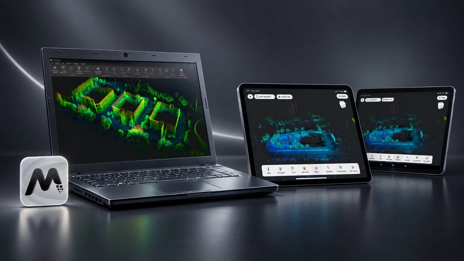
Process with FJD Trion Model
Refine point clouds for your project deliverables.
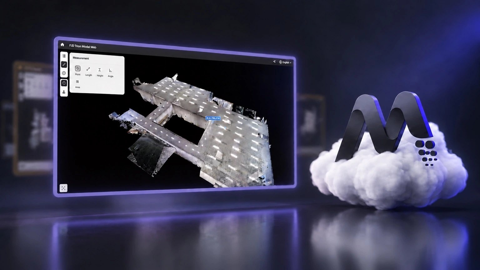
Review with FJD Trion Model Web
Share projects with colleagues through your browser.

FJD Trion T1 Specifications
Manufacturer specifications and accuracy figures are based on stated test conditions. Results depend on the environment, setup and workflow.
FJD Trion T1 Hybrid LiDAR Scanner – Frequently Asked Questions
Clear answers to common questions about specifications, workflows, applications and UK support.
What is the FJD Trion T1?
The FJD Trion T1 is a hybrid LiDAR scanner combining mobile SLAM scanning with fixed-position terrestrial scanning. It is designed for projects needing fast overall site coverage plus higher local accuracy in selected areas.
How is the Trion T1 different from a handheld SLAM scanner?
The T1 adds a dedicated Terrestrial Mode to mobile capture. You can move freely for broad coverage, then use fixed positions to capture critical areas at higher local accuracy with the same scanner.
What accuracy can the FJD Trion T1 achieve?
In Mobile Mode, stated relative accuracy is up to 1 cm. In Terrestrial Mode, stated relative accuracy is 4 mm at 10 m and 8 mm at 30 m. Actual results depend on site conditions, capture technique, control and processing.
What is the scanning range of the Trion T1?
Mobile scanning supports a stated range up to 120 m. Terrestrial scanning supports a stated range up to 60 m.
Can the Trion T1 be used indoors without GNSS?
Yes. Mobile SLAM and terrestrial capture can be used where GNSS reception is unavailable. GNSS/RTK is relevant when a project requires georeferenced data or connection to survey coordinates.
Does the Trion T1 support RTK and PPK?
Yes. The Trion T1 supports RTK positioning and PPK workflows for projects where georeferencing and survey control are required.
What applications is the Trion T1 suitable for?
Typical applications include measured building and as-built surveys, architecture and construction, industrial facilities, infrastructure, mining, quarrying and projects where both rapid coverage and detailed local capture are useful.
Can Trion T1 data be used for CAD and BIM workflows?
Yes. T1 point-cloud data can be processed in FJD Trion Model and exported for downstream CAD, BIM, modelling, cross-section and other reality-capture workflows.
What software is used with the Trion T1?
FJD Trion Model provides point-cloud processing and modelling tools, while Trion Model Web supports browser-based review, sharing and project delivery.
Where can I buy and get support for the FJD Trion T1 in the UK?
LiDAR Tech UK Ltd supplies FJ Dynamics geospatial equipment in the UK and provides product advice, demonstrations, training and UK technical support.
Compare the FJD Trion range
Not sure which system best fits your work? Use our FJD Trion LiDAR Scanner Comparison Guide 2026. For building workflows, see LiDAR scanners for architects and measured building surveys and our Scan-to-BIM, Revit & ArchiCAD guide.
