

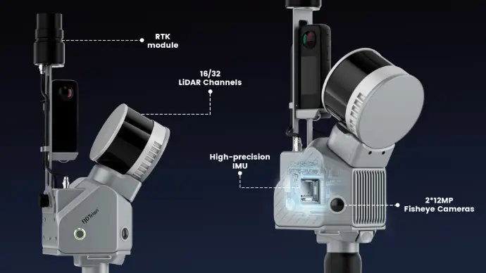
An integrated scanning system
Camera, IMU and optional RTK work together.
Watch the Trion S2 in action
Product videos from LiDAR Tech UK.
FJD Trion P2 & S2 LiDAR – Operation Precautions & SLAM Best Practices
FJD TRION S2 LiDAR Scan Oxford City Centre
Victoria Fountain Charlbury 3DGS model created with FJ Dynamics Trion S2 LiDAR Scanner
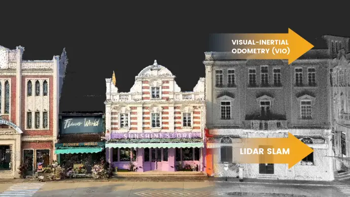
Capture challenging environments
Visual and LiDAR positioning support your scan.
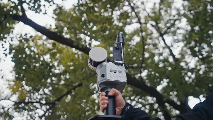
Connect scans to survey coordinates
Optional RTK and PPK support georeferenced output.

Cover more ground by vehicle
Car mounting supports mobile surveys.
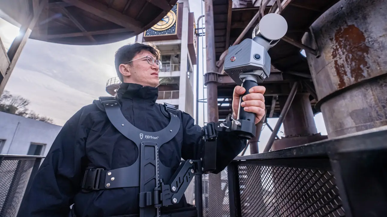
Scan comfortably with a stabilising vest
Choose accessories for your field workflow.
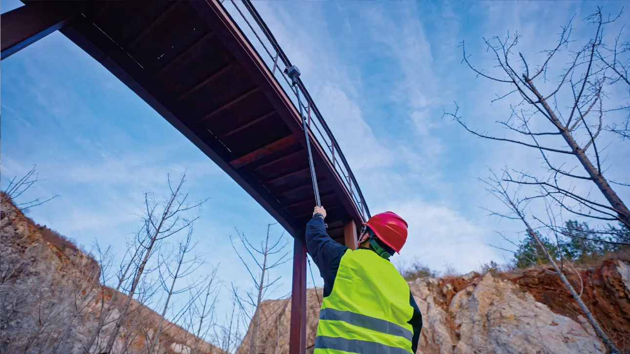
Reach beyond handheld height
An extension pole supports awkward capture locations.

Explore backpack scanning
A hands-free option for longer routes.

Continue your project online
Review and share your captured data.
S2 series specifications
| Model | Range at 80% reflectivity | Point rate | Channels |
|---|---|---|---|
| Standard | 120 m | 320,000 pts/s | 16 |
| Pro | 120 m | 640,000 pts/s | 32 |
| Max | 300 m | 640,000 pts/s | 32 |
All models: 80 m range at 10% reflectivity; relative accuracy ≤1 cm; absolute accuracy 3 cm. Weight: 1.8 kg excluding batteries, external camera and GNSS module. Battery runtime: 3 hours. Outputs: LAS, PLY, PTS and E57. Results depend on conditions. Mounts and accessories are optional; confirm package contents before ordering.
FJ Dynamics Trion S2 LiDAR Scanner – Frequently Asked Questions
Clear answers to common questions about specifications, workflows, applications and UK support.
What is the FJD Trion S2 LiDAR Scanner?
The FJD Trion S2 is a professional mobile LiDAR scanning system using LiDAR, cameras, IMU and advanced VIO and SLAM algorithms to capture accurate 3D point clouds while moving through indoor and outdoor environments.
What accuracy can the Trion S2 achieve?
FJ Dynamics states relative point-cloud accuracy of up to 1 cm and absolute accuracy of 3 cm for the S2 series under specified conditions. Real-world results depend on environment, scan route, control and processing.
What is the scanning range of the Trion S2?
The S2 Standard and Pro have a stated maximum range of 120 m at 80% reflectivity and 80 m at 10% reflectivity. The S2 Max extends the stated maximum range to 300 m at 80% reflectivity.
Can the Trion S2 be used indoors without GNSS?
Yes. The S2 uses SLAM and visual-inertial positioning, so it can scan indoors and in other GNSS-denied environments. RTK is used when georeferenced output or connection to survey coordinates is required.
Does the Trion S2 support RTK and PPK?
Yes. The S2 can integrate an RTK module and supports RTK and PPK workflows, allowing georeferenced point clouds where the project requires them.
What are the main applications for the Trion S2?
Typical uses include topographical surveys, architecture and construction, measured building surveys, mining, forestry, property and asset documentation, infrastructure and other large or complex reality-capture projects.
Can the Trion S2 be vehicle, drone or backpack mounted?
The S2 platform supports multiple deployment options and accessories, including handheld, backpack, vehicle and drone configurations, subject to the appropriate equipment and operating requirements.
What point-cloud formats can the Trion S2 export?
The S2 workflow supports common point-cloud formats including LAS, PLY, PTS and E57 for use with many third-party CAD, BIM and point-cloud applications.
What software is used to process Trion S2 scans?
FJD Trion Model provides processing, point-cloud registration and modelling tools including 2D mapping, mesh modelling, Gaussian splatting and cross-section analysis. Tablet and web-based parts of the Trion ecosystem support field review and collaboration.
Where can I buy and get support for the FJD Trion S2 in the UK?
LiDAR Tech UK Ltd supplies FJ Dynamics geospatial equipment in the UK and provides demonstrations, training, workflow advice and UK technical support for the Trion S2 range.
Compare the FJD Trion range
Not sure which system best fits your work? Use our FJD Trion LiDAR Scanner Comparison Guide 2026. For building workflows, see LiDAR scanners for architects and measured building surveys and our Scan-to-BIM, Revit & ArchiCAD guide.
