
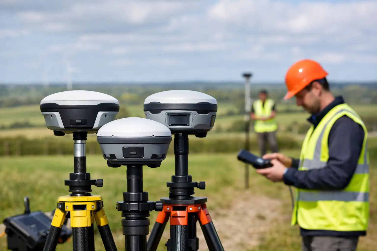
A best RTK rovers comparison for a UK survey team should start with the work, not the specification sheet. A rover that performs well for setting out on an open construction site may be a poor fit for utility surveys beneath tree cover, while a lower-cost unit can become expensive if it creates correction, data-export or support issues in the field.
For professional users, the best choice is usually the rover that delivers repeatable centimetre-level positions within an established workflow. That means assessing GNSS performance, correction reliability, controller software, field durability and the support available when a crew needs an answer quickly.
What separates the best RTK rovers?
An RTK rover receives satellite signals and applies real-time corrections from a local base station or correction network. In suitable conditions, this enables survey-grade positioning for topographic work, site control, setting out, as-built surveys, GIS capture and machine-control support.
The headline accuracy figure matters, but it is only one part of the decision. Most professional rovers quote horizontal accuracy in millimetres plus parts per million when operating with a fixed RTK solution. In practice, the more useful question is how consistently the receiver achieves and retains that fixed solution around buildings, under partial canopy and near machinery.
A capable rover should also fit the software and deliverables used by the business. If field crews need CAD-ready points, coded linework, stake-out reports or asset attributes, the controller and office workflow deserve the same scrutiny as the GNSS receiver.
Best RTK rovers comparison: the key buying criteria
Satellite tracking and signal resilience
Modern professional GNSS rovers track multiple constellations, typically GPS, Galileo, GLONASS and BeiDou, across multiple frequencies. More tracked signals can improve solution availability, particularly where the sky view is restricted. However, multi-constellation capability does not remove the effects of dense canopy, reflective surfaces or poor correction coverage.
For urban, infrastructure and woodland work, look beyond the advertised channel count. Ask for a demonstration in conditions that resemble the difficult parts of your sites. Observe time to fixed solution, how the unit recovers after obstruction, and whether it reports solution status clearly enough for the operator to make sound decisions.
Correction methods and network access
A rover is only as useful as its correction source. UK users commonly work from an NTRIP correction service through a SIM-enabled controller or receiver, although a local base and rover arrangement remains valuable on remote sites or where independent control is required.
Network RTK reduces setup time and is often the most practical option for mobile survey teams. It depends on mobile coverage, subscription access and a correctly configured coordinate reference system. A base-rover kit gives greater control and can operate without internet coverage, but it adds setup, radio planning and base-coordinate responsibilities.
Before purchasing, confirm the correction services available across your operating area and test the intended SIM provider on known weak-coverage sites. For critical work, a workflow with a secondary correction option is sensible.
Field software and data flow
The receiver may be the visible part of the kit, but field software dictates much of its daily value. A strong system should make it straightforward to create jobs, select the right coordinate system, import design data, code observations, stake out points and lines, and export files in formats accepted by CAD, GIS or machine-control platforms.
Construction teams often prioritise fast stake-out, cut-and-fill information and clear reports. Survey practices may need survey coding, linework collection, raw observation storage and reliable integration with existing office software. Utilities and asset managers may place greater value on configurable forms, photographs and attribute capture.
Do not assume that every controller package supports each workflow in the same way. Request a walkthrough using a representative drawing, coordinate file or asset form. This exposes avoidable friction before equipment reaches site.
Tilt compensation
Tilt-compensated rovers allow the pole to be held away from vertical while calculating the antenna position. This can speed up work around walls, vehicles, boundaries and inaccessible points, and it can reduce the need to level the pole at every observation.
The trade-off is operational discipline. Tilt compensation must be correctly calibrated and used within the manufacturer’s stated limits. It does not make poor satellite geometry, multipath or an unstable pole acceptable. For control points and high-consequence setting-out tasks, many teams still adopt a more cautious observation procedure, including checks on solution quality and repeat measurements.
Build quality, battery and connectivity
A rover intended for daily commercial work should withstand rain, dust, vibration and repeated transport between sites. Check the stated ingress protection rating, operating temperature range, battery arrangement and warranty terms. A removable battery can be useful for long shifts, while an integrated battery can simplify handling but requires a charging plan.
Connectivity also deserves attention. Bluetooth reliability between receiver and controller, internal modem support, radio capability, Wi-Fi configuration and USB data transfer all affect field productivity. Small delays at the start of every job become costly over a year of deployment.
Comparing rover types for UK applications
Entry-level professional rovers are suited to teams moving from manual tape-and-offset methods, basic GPS or subcontracted setting-out. They can offer a strong return for open-sky topographic surveys, volume calculations, agricultural measurement and routine construction layout. The limitation is usually not basic accuracy, but lower resilience, fewer workflow features or a more limited support package.
Mid-range survey rovers are often the strongest commercial choice for contractors, consultants and multi-disciplinary survey teams. They typically combine multi-frequency tracking, tilt capability, mobile corrections and capable field software. This category is appropriate where one team needs to cover topo, as-built, stake-out and asset capture without carrying several systems.
Premium survey-grade systems are justified where complex sites, demanding client specifications, established survey workflows and high utilisation make downtime costly. Their value may come from advanced signal handling, mature controller software, integration with total stations or machine-control environments, and an extensive support ecosystem. They should be assessed on total operational value rather than receiver price alone.
A separate category is the compact GIS-focused rover. These are designed around efficient asset capture and attribute collection, often with mobile mapping applications. They are useful for councils, environmental teams and utilities, but may not replace a full survey rover where detailed setting out, survey coding or formal deliverables are required.
Accuracy is a process, not a claim
No RTK receiver should be treated as a substitute for survey control and verification. Good practice begins with the correct project coordinate system and a known control point wherever possible. The operator should check that the correction stream, antenna height, pole height and solution status are correct before collecting production data.
On a well-managed project, crews carry out check shots during the day, repeat critical observations and record sufficient information to demonstrate how points were established. This is particularly important where data will support design decisions, quantities, legal boundaries or safety-critical construction activity.
When comparing equipment, ask suppliers how the system handles quality indicators, residuals, raw data logging and re-observation. A clear audit trail is more valuable than a promising accuracy figure that cannot be verified later.
Whole-life cost matters more than purchase price
The lowest-priced rover can be a sound investment when it matches the task and the operator is competent. It becomes a false economy when crews lose time configuring corrections, struggle with exports, or wait days for technical support during an active job.
Budget for the complete working system: rover, controller, pole, bracket, batteries, charger, protective case, correction subscription, software licences, training and any required base station. Also account for calibration procedures, firmware updates, repair turnaround and replacement equipment availability.
For many organisations, the most valuable supplier contribution is implementation. A proper handover should cover coordinate systems, correction setup, field workflows, quality checks and data export. LiDAR Tech UK supports this broader approach, helping teams align GNSS equipment with their real survey and mapping requirements rather than simply supplying a receiver.
How to make a confident selection
Start by defining the outputs your team must produce and the environments where they work. Then shortlist systems that meet those requirements, arrange a practical demonstration and test them against a familiar workflow. Compare fixed-solution reliability, time on task, exported data quality and ease of use for the people who will operate the equipment every day.
The right RTK rover should make accurate spatial data easier to capture, check and deliver. A careful field trial will show whether it can do that on your sites, with your corrections, and within the standards your clients expect.