
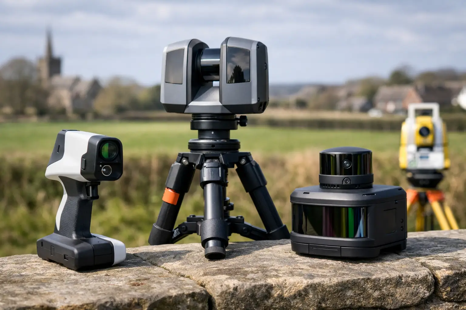
A scanner that produces an impressive point cloud in a showroom can still be the wrong choice for a live construction site, rail corridor or heritage building. The most useful best lidar scanners comparison starts with the deliverable: the accuracy required, the environment being captured, the distance to cover and how quickly the data must reach CAD, BIM or asset-management systems.
For UK survey, engineering and asset teams, LiDAR selection is rarely a simple question of range or point density. A faster capture method may reduce time on site, but it must also provide enough control, registration confidence and usable detail for the intended decision. The right scanner is the one that improves the whole workflow, rather than merely collecting data quickly.
Best LiDAR scanners comparison: choose by workflow
Professional LiDAR systems generally fall into four practical categories: handheld SLAM scanners, backpack or vehicle-mounted mobile mapping scanners, static terrestrial laser scanners and drone-mounted LiDAR systems. Each solves a different field problem.
| Scanner type | Best suited to | Main advantage | Key consideration | |—|—|—|—| | Handheld SLAM LiDAR | Buildings, plant rooms, construction progress and confined spaces | Rapid, mobile capture with minimal set-up | Accuracy and drift management depend on survey control and capture route | | Backpack or mobile mapping LiDAR | Roads, rail, estates, forestry and large external sites | Efficient coverage across long corridors or wide areas | Requires careful trajectory planning and GNSS performance where used outdoors | | Static terrestrial laser scanner | High-detail surveys, deformation work, façades and complex geometry | Strong measurement control and detailed stationary scans | Multiple set-ups can increase site time and registration effort | | Drone LiDAR | Difficult terrain, roofs, quarries, utilities routes and large land areas | Safe, efficient aerial coverage | Flight permissions, vegetation penetration needs and ground control remain critical |
There is no universal winner. A static scanner can be the better investment where millimetre-level detail and repeatable control matter more than speed. A handheld SLAM system can be more productive where access, programme pressure and complex internal routes are the limiting factors. In many projects, combining methods produces the strongest result.
Handheld SLAM LiDAR: speed where set-up time is the problem
Handheld LiDAR scanners use simultaneous localisation and mapping, commonly known as SLAM, to build a point cloud while the operator walks through an environment. They are particularly effective for internal surveys, multistorey buildings, industrial facilities, tunnels and construction projects where traditional static set-ups would interrupt work or take several days.
The practical advantage is not simply that the scanner is portable. It is that the operator can capture stairwells, corridors, plant areas and external transitions in one continuous workflow. This reduces blind spots caused by static scanner positions and makes frequent progress capture commercially realistic.
FJDynamics Trion systems are designed for this type of mobile reality capture. They offer a practical route into survey-grade SLAM workflows for teams that need to collect spatial data efficiently without carrying out a full static scan at every location. However, the scanner should not be assessed on headline specifications alone. Review how it handles loop closures, control points, challenging surfaces, low-feature corridors and processing within the software workflow your team uses.
Handheld SLAM is an excellent fit for as-built verification, MEP coordination, measured building surveys, stockpile environments and rapid site documentation. It is less suitable as a direct replacement for static terrestrial scanning where a client requires tightly controlled, independently verified measurements across a large or high-precision survey network.
What to check before buying a handheld scanner
Ask for demonstrated results from a site similar to your own. A warehouse with repetitive racking, a long corridor with few visual features and a busy plant room can each challenge a SLAM workflow differently. Also establish whether you need surveyed control targets, GNSS positioning outdoors or both.
Processing time matters as much as capture time. A system that produces a clean, registered point cloud with straightforward export to common design and modelling packages can save considerably more labour than one that requires extended manual correction after every survey.
Backpack and mobile mapping LiDAR: cover more ground per shift
Backpack and vehicle-based systems are intended for larger areas and longer routes. Typical applications include highways, rail estates, campuses, industrial facilities, forestry tracks, urban streets and utility corridors. The value lies in collecting dense spatial information while moving continuously, rather than stopping repeatedly for individual scanner positions.
These systems often benefit from a combination of LiDAR, inertial measurement, GNSS/RTK positioning and SLAM. Where satellite visibility is good, GNSS can strengthen georeferencing and reduce the need for extensive downstream adjustment. Under tree canopy, beside tall buildings or inside structures, the system must rely more heavily on its inertial and SLAM performance.
This is where operational planning becomes decisive. A poor route with no revisits, limited control or interrupted GNSS conditions can create a point cloud that looks complete but does not meet positional requirements. Surveyors should plan loops, establish check points and define a clear coordinate reference strategy before capture begins.
For organisations maintaining assets across extensive sites, mobile mapping can make repeat surveys more affordable. It is particularly valuable when the objective is an up-to-date, measurable digital record rather than a small number of isolated measurements. The trade-off is that hardware choice, mounting method, correction service and processing standards need to work together from the outset.
Static terrestrial scanners: where control and detail take priority
Static terrestrial laser scanners remain the benchmark for many high-detail measured surveys. The scanner is positioned on a tripod, captures from a fixed location and is moved through a planned network of set-ups. This method is proven for architecture, structural surveys, façades, industrial installations, heritage records and situations where precise geometry must be evidenced.
The main strength is control. With suitable target placement, survey control and registration procedures, static scanning provides dependable datasets for demanding design, conservation and engineering use. It also handles fine detail at a stand-off distance well, which can matter when access is restricted or objects cannot be approached safely.
Its limitation is field productivity. Complex sites may require numerous scan positions to avoid occlusions, and each position needs time to establish, capture and register. For a small, detailed room this may be entirely appropriate. For a 20,000-square-metre operational building requiring weekly progress data, a mobile workflow may provide a better commercial balance.
The decision should therefore be based on the tolerance of the final deliverable. If drawings, clash detection or asset models need highly controlled geometry, static scanning is often justified. If the goal is rapid condition recording, space planning or progress visualisation, handheld LiDAR may be more efficient.
Drone LiDAR: a separate answer to inaccessible terrain
Drone LiDAR belongs in a best LiDAR scanners comparison because it changes what can be captured safely, not because it replaces ground scanning. Aerial platforms are well suited to embankments, quarries, roof structures, woodland, transmission routes and broad infrastructure sites where walking the full area is slow, unsafe or impractical.
LiDAR can often capture terrain through gaps in vegetation more effectively than photogrammetry, making it valuable for topographic modelling and corridor work. Yet vegetation density, flight height, scan angle, platform stability and ground control all affect the result. A drone LiDAR survey requires competent flight planning, appropriate permissions and a clear understanding of the required ground classification outputs.
For detailed building interiors, equipment surveys and below-canopy asset checks, ground-based LiDAR remains essential. The most productive projects may use aerial LiDAR for the wider context and mobile or static scanning for detailed verification at ground level.
The specification questions that prevent expensive mistakes
Range, points per second and stated accuracy are useful comparison figures, but they do not tell the whole story. Ask suppliers how the published accuracy is measured and whether it refers to sensor performance, relative point-cloud precision or final georeferenced survey accuracy. These are not interchangeable.
Consider the working environment. Reflective surfaces, glazing, black materials, rain, dust and direct sunlight can affect capture quality. So can featureless areas, moving people or vehicles, and repetitive structures. A practical demonstration should reflect these conditions rather than an idealised test space.
Data compatibility deserves equal attention. Confirm the point-cloud formats, registration tools, classification options and exports available for your existing CAD, BIM, GIS or asset-management workflow. If the scanner requires a specialist processing route, ensure the team has the training, computing capacity and support to use it consistently.
Finally, compare the support model. Professional LiDAR is an operational system, not just a purchase. Training, field set-up advice, software guidance, technical response times and access to processing expertise all influence whether the equipment delivers a return. LiDAR Tech UK supports organisations that need this wider implementation capability, from equipment selection through to survey delivery and usable data outputs.
Build the comparison around the decision you need to make
Before requesting quotations, define the required coordinate system, survey tolerance, deliverables, typical site size and target turnaround. Then test candidate scanners against a representative job. Capture the same area, process it using the proposed workflow and compare not only the point clouds, but also field time, office time, missing detail and confidence against known checks.
The best choice is often the system that gives your team sufficient accuracy with the least operational friction. A well-supported scanner matched to the job can reduce site exposure, shorten programmes and produce data that design and asset teams can act on with confidence.