
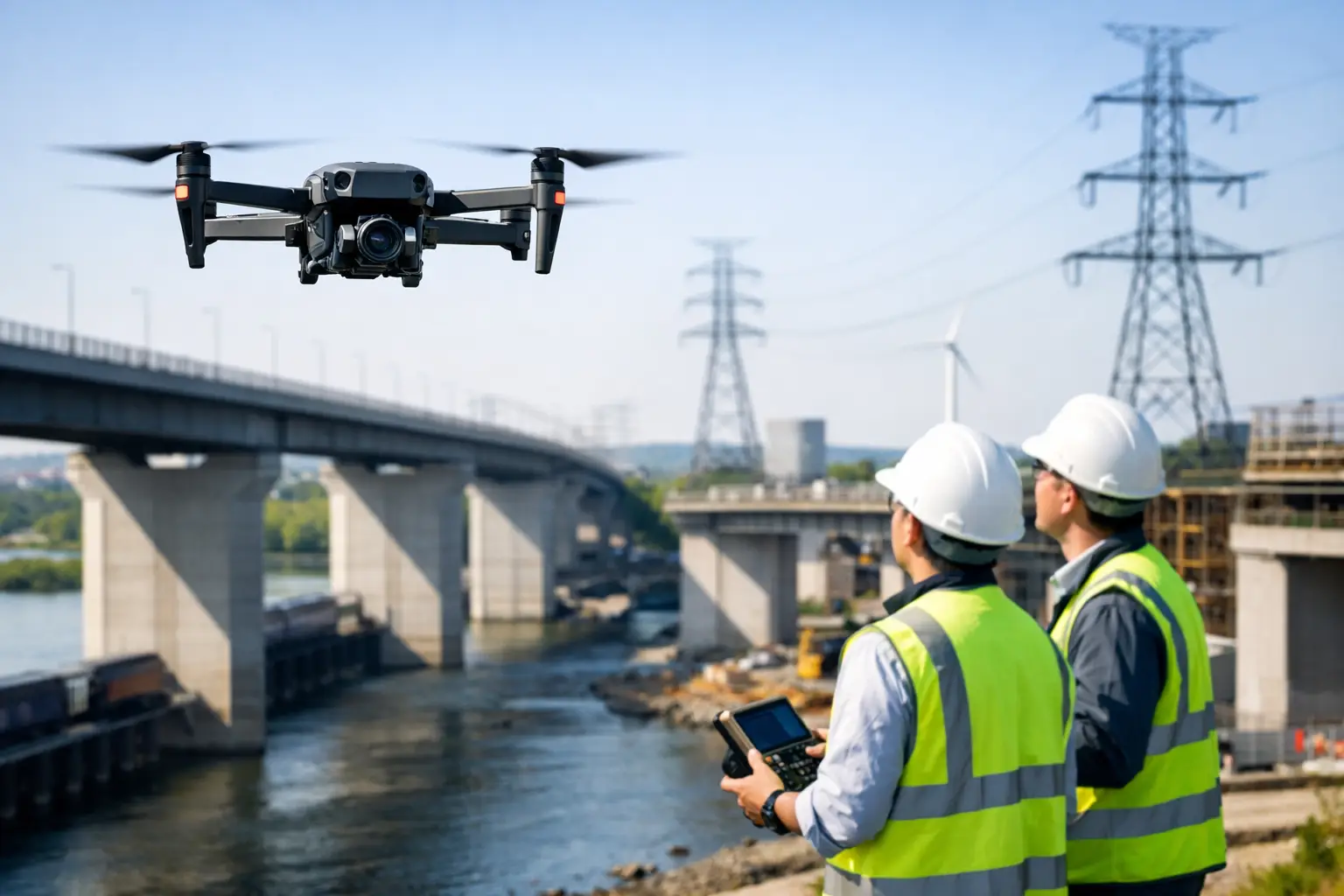
A bridge inspection delayed by lane closures, a wind turbine accessible only by rope team, or a transmission tower standing within a live network all present the same operational problem: the asset needs close, defensible inspection data without putting people in unnecessary danger. Inspection drones for infrastructure give asset owners a practical way to capture that evidence faster, more frequently and with far less disruption than many conventional access methods.
For UK infrastructure teams, the benefit is not simply aerial imagery. A properly specified enterprise drone workflow can produce repeatable, geo-referenced records for condition assessment, maintenance planning, engineering review and audit trails. The value comes from matching the aircraft, sensor, positioning method and data output to the inspection decision that follows.
Where infrastructure drone inspections add value
Drone inspection is especially effective where access is difficult, risk is high or the cost of downtime is significant. Utilities, highways, rail-adjacent assets, industrial estates, ports, quarries and renewable energy sites all contain structures that are expensive to reach by scaffold, cherry picker, rope access or manned aircraft.
A drone can document façades, roofs, stacks, bridges, retaining walls, pylons, cooling towers and drainage assets from safe stand-off distances. It can also survey broad corridors and sites between detailed inspections, helping teams identify change, vegetation encroachment, drainage issues or surface deterioration before sending people to investigate further.
This does not mean drones replace every close-up inspection. Where an engineer needs to touch a component, take a material sample, test a connection or assess an area hidden behind a cover, physical access remains necessary. The strongest operational model is often drone-first: use aerial data to prioritise access work, define the scope precisely and avoid sending specialists to defects that do not require intervention.
Choose the sensor around the defect, not the aircraft
The most common procurement mistake is choosing a drone by headline flight time or camera resolution alone. For infrastructure work, the correct starting point is the defect or measurement requirement. A high-resolution visual camera is excellent for general condition records, concrete spalling, corrosion, loose fittings and visible cracking where the aircraft can safely get close enough. Optical zoom adds value on tall structures or in exclusion zones, allowing detail to be captured without compromising stand-off distance.
Thermal imaging serves a different purpose. It can highlight temperature variation associated with electrical faults, insulation failures, solar-panel anomalies, heat loss or moisture-related issues. Thermal findings need experienced interpretation and appropriate environmental conditions. Reflections, solar loading, wind and changing surface temperatures can all affect the result, so a thermal image should be treated as inspection evidence rather than an automatic diagnosis.
LiDAR is particularly useful when the required output is accurate 3D geometry. It can capture complex structures, corridors and vegetation-affected environments, producing point clouds that support clearance assessment, volumetric analysis, digital twins and change detection. Unlike photogrammetry, LiDAR does not rely on visible texture in the same way, although its accuracy still depends on sensor calibration, flight planning, GNSS conditions and control.
Photogrammetry remains a highly capable option for detailed orthomosaics and textured 3D models. With sufficient image overlap, stable lighting and sound ground control, it can create useful survey-grade deliverables. It is often more economical than airborne LiDAR for large, open and visually detailed surfaces. The choice depends on the required tolerance, surface type, vegetation cover and the software workflow used by the engineering team.
Positioning and repeatability determine whether data can be compared
A single inspection can identify an obvious fault. The longer-term advantage comes from comparing inspection datasets over time. To do this reliably, image positions and 3D datasets need consistent spatial reference.
RTK-enabled enterprise drones can improve positional accuracy by applying real-time corrections from a base station or network correction service. For many projects, this reduces the time required to establish conventional ground control and strengthens the location confidence of collected imagery. It does not eliminate the need for verification. On high-accuracy work, independent check points, a documented coordinate system and clear processing controls remain essential.
Repeatability also depends on flight design. Teams should record stand-off distance, camera angle, focal length, altitude, overlap and inspection route, rather than relying on a pilot to recreate a previous flight from memory. Repeat missions around a bridge bearing, tower face or rooftop plant area should use the same inspection geometry wherever practical. Consistent capture makes change easier to detect and reduces ambiguity in engineering review.
Accuracy should be specified in the final deliverable
It is useful to separate aircraft positioning accuracy from the accuracy of the final model, measurement or defect location. GNSS performance, image quality, surface geometry, control points and processing settings all contribute. A project brief should state what is required: for example, a visual report with defect locations, a scaled orthomosaic, a classified point cloud, a CAD-ready model or a measured clearance survey.
Without that definition, teams can collect impressive-looking data that does not answer the maintenance question. A professional workflow begins with the output, then specifies capture and processing to achieve it.
Plan the operation as carefully as the flight
Infrastructure environments create constraints that consumer-drone workflows are not designed to manage. Live substations, operational railways, public highways, industrial traffic, confined spaces, cranes, turbines and high winds require structured planning. The pilot must understand airspace, site hazards, electromagnetic interference, take-off and landing options, lost-link procedures and safe separation from people and assets.
UK operators must also meet Civil Aviation Authority requirements applicable to the aircraft, operation and location. Depending on the proposed flight, this may involve defined competency, operational procedures, permissions or an Operational Authorisation. Clients should expect suitable risk assessments, method statements, insurance and records of pilot competence as part of a professional inspection mobilisation.
Weather deserves more than a basic wind-speed check. Gusts around structures, rotor wash near walls, rain, low light, thermal contrast, cloud cover and sun angle can all determine whether a capture is safe and technically useful. A thermal survey planned for the wrong time of day can be less valuable than no survey at all. A visual inspection of a west-facing façade may need to avoid glare, while a LiDAR mission may require a different approach to manage occlusion.
Turn drone capture into an asset management record
Infrastructure managers do not need thousands of unstructured images handed over at the end of a flight. They need information that can be reviewed, assigned and compared. That may be a defect register with annotated photographs, a georeferenced map, a 3D point cloud, a mesh model, a thermal report or a set of CAD-compatible measurements.
The right deliverable depends on the organisation’s existing systems. A highways contractor may need chainage-referenced imagery and dimensions. A utility provider may require asset IDs, coordinates and thermal anomalies in a standard inspection template. A civil engineering consultant may need point clouds and mesh data for design coordination. Establishing naming conventions, coordinate reference systems, file formats and acceptance criteria before fieldwork prevents expensive reprocessing later.
Data governance also matters. Critical infrastructure imagery may be commercially sensitive or subject to site-specific security controls. Confirm where data will be stored, who can access it, how long raw files are retained and whether processing will take place within an approved environment. These considerations should sit alongside resolution and accuracy in the procurement discussion.
Build the right capability model
Some organisations benefit from owning an enterprise drone system and training their own team. This approach suits frequent, repeatable inspections where local staff can mobilise quickly and where a clear internal operating procedure can be maintained. Ownership should include more than the aircraft: batteries, charging and transport arrangements, RTK corrections, software licences, maintenance, pilot training, operational documentation and data-processing capacity all need to be budgeted.
For periodic, technically complex or higher-risk work, an outsourced service can be more efficient. It provides access to experienced pilots, survey control, specialist sensors and established processing workflows without creating an internal compliance burden. A hybrid approach is also common: an in-house team captures routine visual checks, while specialist providers support LiDAR surveys, thermal programmes, complex airspace or engineering-grade deliverables.
LiDAR Tech UK supports both routes, supplying enterprise drone and positioning systems alongside training, technical support, data processing and field services. The key is to choose a capability model that supports the inspection frequency, accuracy requirement and internal resource available – not simply the lowest initial equipment cost.
A better question for procurement teams
Rather than asking which drone is best, ask which inspection decision needs to be made faster and with greater confidence. That question clarifies the sensor, the accuracy, the operating model and the deliverable. When the workflow is designed around a real asset-management decision, drone data becomes a reliable maintenance tool rather than a collection of aerial photographs.