
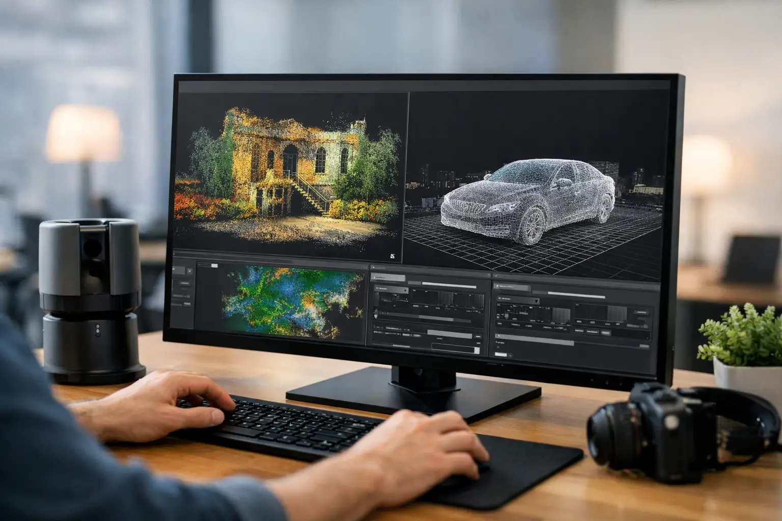
A point cloud can be captured in hours yet lose value quickly if registration is unstable, noise is left unresolved or the final model cannot move into the client’s CAD, BIM or asset-management workflow. The best software for point cloud processing is therefore not simply the package with the longest feature list. It is the one that produces dependable, usable deliverables at the required accuracy and within the time available.
For UK survey, construction, infrastructure and inspection teams, software selection should begin with the outcome: a registered scan set, a classified terrain model, measured as-built information, a mesh for visualisation, or drawing-ready geometry. The right answer varies according to capture method, point-cloud size, required tolerances and the experience of the people processing the data.
What point cloud processing software must do
A professional workflow normally starts by importing LiDAR, terrestrial laser scan, mobile mapping or photogrammetry data. The software then aligns individual scans or trajectories, applies control where required, removes unwanted data, checks quality and exports a format suitable for downstream design or analysis.
Registration is usually the critical stage. Target-based registration can provide clear auditability on controlled survey work, while cloud-to-cloud registration can reduce field setup time on complex interiors or large sites. Neither removes the need for sound survey control, sensible overlap and a documented accuracy check. Software can refine good data; it cannot reliably recover information that was never captured.
Processing requirements then diverge. A highways survey may need ground classification and a clean digital terrain model. A building retrofit project may require a coordinated point cloud for Revit or AutoCAD workflows. An industrial inspection may demand high-detail meshing, measurement and colour imagery. Teams should avoid buying a platform designed around one task and expecting it to perform every specialist function equally well.
Best software for point cloud processing by workflow
Leica Cyclone REGISTER 360 PLUS
Leica Cyclone REGISTER 360 PLUS is a strong choice for teams processing terrestrial laser-scanner data where efficient registration, visual quality checking and a clear project record matter. Its guided workflow is particularly useful when multiple operators need consistent results across building, plant and infrastructure surveys.
The principal benefit is speed from field capture to a registered deliverable. Visual alignment tools and automated registration can reduce manual effort, but surveyors should still review constraints, residuals and control results before issue. It is best suited to organisations already operating within a Leica scanning ecosystem or regularly handling scan-intensive reality-capture projects.
Its trade-off is commercial and operational: it is a specialist professional platform, so it makes most sense where scan registration is a regular, billable activity rather than an occasional requirement.
Trimble RealWorks
Trimble RealWorks is designed for survey and engineering workflows that require more than basic registration. It supports point-cloud processing, inspection, modelling and deliverables for construction, industrial and infrastructure applications. It is particularly relevant where data must be connected to established Trimble field and office processes.
For teams creating as-built documentation, extracting geometry or checking construction against design, RealWorks offers capable tools without forcing every project into a general-purpose CAD workflow first. The practical consideration is training. Its capability is substantial, but users obtain better results when templates, export standards and quality-control procedures are agreed before projects begin.
FARO SCENE
FARO SCENE remains a practical registration and processing environment for FARO laser scanner users. It is well suited to organisations capturing building interiors, heritage sites, industrial facilities and construction progress data, particularly where automated registration can accelerate routine processing.
The software performs best when field crews follow a repeatable capture plan with adequate overlap and appropriate targets or reference objects. It is not a replacement for survey control on work with defined coordinate and accuracy requirements. Where deliverables extend to modelling, CAD extraction or advanced analysis, SCENE is often part of a wider software chain rather than the only platform required.
Autodesk ReCap Pro
Autodesk ReCap Pro is often the sensible choice for project teams that need to bring registered point clouds into Autodesk design workflows. Its value lies in making reality-capture data accessible for AutoCAD, Revit and Civil 3D users who need context for design, coordination and measured verification.
It is less suited to being the primary processing environment for complex, raw multi-scan datasets. A survey team may register and validate data in scanner-specific software, then use ReCap Pro to distribute, crop and prepare files for design colleagues. This division of labour can be efficient, provided file naming, coordinates and revision control are managed carefully.
CloudCompare
CloudCompare is a capable open-source option for visualisation, segmentation, comparison, distance analysis and point-cloud cleaning. It can be valuable for technical users who need to inspect data, compare epochs or carry out specific analytical tasks without adding another high-cost licence.
Its limitation is not capability but workflow support. CloudCompare is less structured than commercial enterprise platforms and relies more heavily on user knowledge. It may be an excellent secondary tool for experienced geospatial professionals, but it is rarely the best sole platform for a business that needs repeatable reporting, vendor support and straightforward handover between staff.
TerraScan and TerraModeler
For airborne and mobile LiDAR projects, TerraScan and TerraModeler remain respected specialist tools for classification and terrain extraction. They are highly relevant to corridor mapping, forestry, utilities, flood-risk modelling and large-area topographic work where ground filtering and class accuracy determine the value of the final dataset.
These tools reward experienced operators. Automated classification routines can be configured effectively, but vegetation, overhead lines, complex structures and variable terrain still require inspection and manual refinement. They are not aimed at a simple indoor scan-registration workflow; their strength is detailed geospatial processing at scale.
Select software around the deliverable, not the scanner
A scanner purchase should not dictate every office decision. Whether data comes from a terrestrial system, a wearable mobile mapper, an RTK-controlled drone or a vehicle-mounted platform, the required deliverable should determine the processing path.
For survey-grade topographic output, prioritise coordinate-system handling, control adjustment, classification tools and exports that work cleanly in CAD and GIS. For building surveys, prioritise registration confidence, clipping, measurement, panoramic imagery and compatibility with BIM tools. For asset inspections, look for annotation, repeatable measurement, mesh generation and comparison tools that make change visible to engineering teams.
Also consider point-cloud volume. A small internal survey can be managed on a standard workstation, while multi-day mobile mapping or high-density terrestrial scanning projects may require substantial RAM, fast storage and a dedicated graphics card. The cost of inadequate hardware is often measured in lost processing time and failed exports, not just slower rendering.
Questions to ask before committing
Before selecting a package, establish whether it can import your native scan or trajectory files without a slow conversion step. Confirm how it handles UK National Grid, local site grids and survey control. Ask what quality report can be produced, how licences are structured, whether processing can be repeated by another operator and which export formats your clients actually accept.
It is also worth testing a real project rather than a clean demonstration dataset. Include reflective surfaces, vegetation, tight interiors, low-overlap areas or long corridors if those conditions are typical of your work. A trial should prove registration quality, processing time and the final handover format, not just confirm that the software opens a file.
Build a dependable processing workflow
The most effective software environment is usually a controlled combination: capture software for import and registration, a specialist tool for classification or analysis where needed, and design software for final coordination. Attempting to force every job through one package can create bottlenecks and reduce traceability.
LiDAR Tech UK can help organisations match LiDAR capture hardware, processing software and practical training to the required survey or inspection output. The aim is a workflow that field teams can operate confidently and office teams can verify, repeat and deliver.
Choose software that makes accuracy visible rather than assumed. When registration checks, coordinate control and export requirements are agreed before the first scan is taken, point-cloud data becomes a dependable project asset rather than another large file waiting to be processed.