
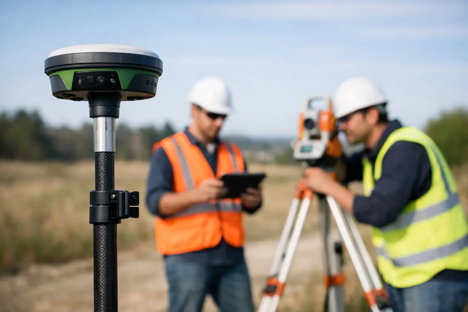
A conventional topographic survey of a busy plant room, wooded corridor or constrained structure can consume far more time than the final deliverable suggests. That is where mobile laser scanning earns its place. This FJDynamics Trion P1 review considers whether the system provides a practical route to faster, survey-grade reality capture for UK teams that need usable point clouds rather than impressive-looking field technology.
The Trion P1 is not intended to replace every total station, GNSS rover or static terrestrial scanner. Its value is in the gap between those methods: capturing complex spaces quickly, safely and with a level of detail that supports measured surveys, modelling, inspection and asset documentation. For the right work, that can materially reduce time on site and limit the need for repeat visits.
What the FJDynamics Trion P1 is designed to do
The Trion P1 is a handheld SLAM LiDAR scanner designed to capture 3D point-cloud data while the operator walks through or around an environment. SLAM – simultaneous localisation and mapping – enables the scanner to estimate its own position as it builds a model of the surrounding space. This makes it particularly useful where satellite visibility is poor, sightlines are interrupted or setting out numerous survey stations would be inefficient.
The system combines LiDAR measurement with visual data capture and can be used with RTK positioning where a coordinated result is required. In practical terms, an operator can capture internal areas, external façades, corridors, structures, earthworks, vegetation and site assets in a continuous walk-through workflow.
Its appeal is straightforward: capture more context in less time than traditional point-by-point methods, then process the result into a registered, colourised point cloud for CAD, BIM, measurement or visual inspection workflows.
FJDynamics Trion P1 review: field performance
The P1 is at its best in environments that are geometrically complex but accessible on foot. Industrial facilities, heritage buildings, rail-side assets, construction progress surveys and woodland-edge mapping are all credible examples. In these settings, the ability to move continuously around obstacles is more valuable than a specification sheet alone suggests.
For indoor capture, SLAM scanning removes the repetitive work of relocating a tripod-mounted scanner and establishing overlap between individual set-ups. A careful route through rooms, stairwells and corridors can produce a comprehensive dataset in a fraction of the time required by static scanning. It is also a useful safety advantage where access windows are short or an operational environment cannot be disrupted for long.
Outside, the scanner can collect dense geometry around structures, stockpiles, excavations and assets. RTK integration is particularly relevant when the final point cloud needs to sit within a site grid or national coordinate framework. That said, satellite positioning should be treated as one component of survey control, not a substitute for a considered control strategy on high-accuracy projects.
Published performance figures are useful as an indication of capability, but real results depend on surface reflectivity, scan route, operator technique, movement through the scene and the quality of the control used. Dark materials, glazing, standing water, narrow repetitive corridors and large areas with few distinguishing features can all make any mobile mapping workflow more demanding.
Accuracy: suitable for which jobs?
The Trion P1 can support centimetre-level point-cloud work when it is deployed correctly and processed with appropriate checks. That makes it a strong fit for measured building surveys, as-built documentation, asset inventories, progress capture, volumetric context and preliminary design data.
It should not automatically be specified for every task that carries a survey tolerance. Where millimetre-level certainty is required – for example, precision setting out, deformation monitoring, legal boundary work or critical fabrication verification – conventional survey control and specialist measurement methods remain necessary.
The sensible question is not whether SLAM LiDAR is accurate in isolation. It is whether its verified accuracy is appropriate for the project’s tolerance, deliverable and commercial risk. A competent workflow includes check points, overlap where practical and comparison against independent control before data is issued.
Workflow and software considerations
A scanner only creates value when its output can move efficiently into the client’s existing workflow. The P1 produces point-cloud data suited to downstream use in common CAD, BIM and point-cloud processing environments. Colourised capture can also improve interpretation when users need to identify equipment, finishes, structural elements or asset labels within a dense survey model.
Processing time must be allowed for in programme planning. The walk is fast, but data still needs to be transferred, processed, reviewed and exported. A large, detailed capture may be completed in the field within an hour, yet the survey team must still undertake quality assurance before issuing a deliverable. Mobile mapping accelerates acquisition; it does not remove professional responsibility for validation.
For organisations new to LiDAR, the most common bottleneck is not the hardware. It is establishing a repeatable process for naming projects, selecting scan routes, managing control, storing raw files, checking outputs and defining what the client actually needs. A full-resolution point cloud may be appropriate for a modeller, while a client managing facilities may benefit more from sections, floor plans, asset schedules or a simplified visual model.
LiDAR Tech UK can support this wider implementation process, including equipment selection, training and data workflows, rather than treating the scanner as a standalone purchase.
Where the Trion P1 offers the strongest return
The commercial case for the P1 is strongest where survey time, access restrictions or site complexity are affecting delivery. It can reduce labour on site, improve the amount of captured context and provide a defensible record of conditions at a particular point in time.
Construction teams can use it for progress records, verification of installed work and coordination against design models. Survey practices can use it to capture difficult interiors and external context before extracting conventional deliverables. Asset managers can document plant, structures and service corridors without relying solely on photographs and handwritten notes. Forestry and land teams can use mobile capture to complement GNSS and drone data where ground-level detail is needed beneath or alongside canopy.
The system is also valuable for risk reduction. A comprehensive point cloud allows teams to revisit dimensions remotely, reducing the chance that a missing measurement results in another site visit. On facilities with restricted access, that saving can be significant.
Limitations to consider before purchase
A handheld LiDAR scanner is not a push-button replacement for survey experience. The operator needs to plan a route that preserves positional confidence, avoids excessive speed and maintains useful visual and geometric overlap. Returning to a known area, creating loops where possible and avoiding abrupt transitions between feature-poor spaces will generally support better SLAM results.
Busy sites present another consideration. Moving people, vehicles and machinery can introduce transient data into the point cloud. Some unwanted points can be cleaned during processing, but it is preferable to plan capture around activity where possible. Rain, highly reflective surfaces and poor lighting for imagery may also affect the usability of certain outputs.
Buyers should also assess total ownership requirements. This includes processing software, workstation capacity, operator training, field control accessories and the time needed to build internal confidence. The lowest initial hardware cost does not always create the lowest project cost if the team cannot consistently turn raw scans into dependable deliverables.
Is the Trion P1 the right choice?
The FJDynamics Trion P1 is a compelling mobile LiDAR option for professional teams that need to capture detailed 3D reality quickly across varied environments. Its strength is operational efficiency: it gives surveyors and project teams a practical way to collect rich spatial data in locations where static scanning is slow and conventional methods do not capture enough context.
It is best viewed as part of a measured survey toolkit. Use it where its speed and coverage improve the job, support it with suitable control and quality checks, and retain conventional instruments for tasks that demand tighter tolerances. For businesses facing repeated demands for as-built data, asset records or complex-site capture, the real test is simple: if one complete walk-through can prevent a return visit, the P1 has already started to justify its place in the workflow.