
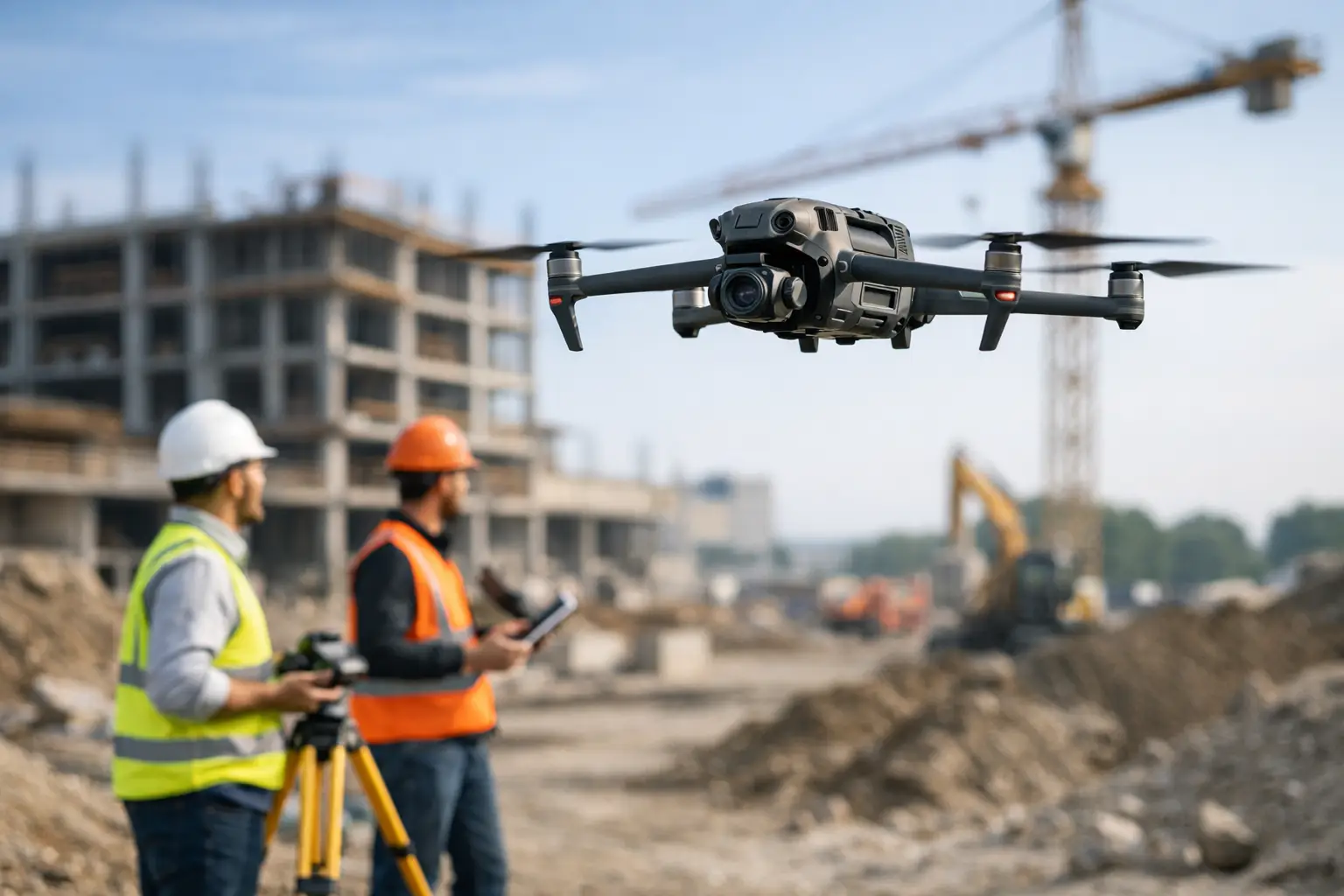
A drone survey is only as useful as the coordinates, imagery and point cloud it produces. The best drones for surveying are therefore not simply the aircraft with the longest flight time or highest camera resolution. They are professional platforms selected around the required accuracy, site conditions, deliverable and workflow – whether that is an orthomosaic for a planning application, CAD-ready topographic data, stockpile volumes or a classified LiDAR point cloud.
For UK survey, construction and infrastructure teams, the right choice usually falls into one of three categories: a compact RTK photogrammetry drone for routine mapping, a larger payload platform for specialist sensors, or an integrated LiDAR system for terrain and asset capture. Each has a clear operational role.
What separates a survey drone from a standard camera drone?
Surveying requires repeatable positional control and data that can stand up to scrutiny. A consumer drone may capture attractive aerial imagery, but it is not designed around the same accuracy, reliability or data-management requirements as an enterprise system.
A professional survey drone should support RTK positioning, ideally with a compatible network correction service or local base station. RTK improves the geotagging of each image or LiDAR measurement and reduces dependence on ground control points. Ground control remains good practice where verification, client specification or challenging conditions require it, but RTK can significantly reduce field time.
The aircraft must also carry a camera or sensor suited to the job. A mechanical-shutter mapping camera avoids image distortion during flight, while a LiDAR payload captures direct range measurements and is better able to map through vegetation. Beyond the aircraft, assess flight-planning software, processing software, batteries, spare parts, operator training and technical support. These elements determine whether the system delivers productive survey days rather than isolated flights.
Best drones for surveying by application
DJI Mavic 3 Enterprise for efficient site mapping
The DJI Mavic 3 Enterprise is a strong entry point for professional photogrammetry. Its compact format makes it practical for surveyors, small construction teams and asset managers who need to mobilise quickly across multiple sites. A mechanical-shutter wide-angle camera, RTK capability through the appropriate module, and long flight endurance make it well suited to topographic surveys, progress monitoring, stockpile measurement and roof or façade documentation.
Its main advantage is efficiency. The aircraft can be deployed with minimal logistics, making it a sensible choice where teams are surveying smaller areas frequently and need a straightforward route from capture to orthomosaic, surface model or volume calculation.
There are limits. Photogrammetry depends on visible ground texture and clear sightlines. Dense woodland, long grass and poorly textured surfaces can reduce the reliability of the resulting terrain model. The Mavic 3 Enterprise is excellent for mapped surfaces and visible features, but it is not a substitute for LiDAR where the ground is obscured.
DJI Matrice 4E for higher-detail photogrammetry
The DJI Matrice 4E is designed for professional mapping and surveying work that benefits from a more capable imaging platform. It combines a mapping-focused camera with additional imaging capability in a compact enterprise aircraft, providing a practical balance between detailed site capture and rapid deployment.
This platform is particularly relevant for civil engineering schemes, detailed construction surveys, heritage recording and larger sites where image quality, coverage and operational confidence matter. RTK positioning supports accurate georeferencing, while automated flight planning helps maintain consistent overlap and capture geometry.
For survey practices moving beyond occasional drone work, the Matrice 4E can provide a more scalable photogrammetry workflow than a basic compact aircraft. It remains a camera-led system, however. If the specification calls for bare-earth terrain beneath tree canopy, powerline corridor classification or dense 3D point-cloud capture, a LiDAR-equipped platform will generally be the better commercial decision.
DJI Matrice 350 RTK with Zenmuse P1 for large-area mapping
The DJI Matrice 350 RTK is the workhorse option for organisations that need payload flexibility, tougher operating capability and a platform that can support several survey disciplines. When paired with the Zenmuse P1 full-frame photogrammetry camera, it is a highly capable solution for large-area topographic mapping, quarry surveys, route corridors and high-resolution reality capture.
The P1’s full-frame sensor and mechanical shutter enable efficient image capture at survey-grade ground sampling distances. Combined with RTK positioning and properly planned missions, it can produce detailed datasets for processing into orthomosaics, digital surface models, meshes and measured drawings.
The trade-off is operational overhead. A Matrice 350 RTK system requires more transport capacity, more disciplined battery management and a higher initial investment than a compact drone. That investment is justified when the business needs reliable throughput, sensor interchangeability and the ability to deploy the same aircraft for mapping, thermal inspection or LiDAR work.
DJI Matrice 350 RTK with Zenmuse L2 for LiDAR surveying
For sites where vegetation, complex structures or variable lighting make image-based methods less dependable, the Matrice 350 RTK with Zenmuse L2 is among the best drone combinations for surveying. The L2 integrates LiDAR, an RGB mapping camera and an IMU to generate dense georeferenced point clouds while recording imagery for colourisation and contextual interpretation.
This configuration is well suited to woodland terrain modelling, rail and highway corridors, utility routes, embankments, quarry faces, flood-risk studies and asset surveys. LiDAR can record returns through gaps in vegetation, allowing ground classification to produce a more realistic bare-earth model than photogrammetry alone in suitable conditions.
LiDAR does not remove the need for survey control or quality assurance. Point-cloud accuracy depends on GNSS corrections, IMU performance, flight settings, calibration, control checks and processing discipline. It also creates a more specialist workflow: operators must understand point density, overlap, strip alignment, classification and the difference between a visually impressive cloud and a defensible survey deliverable.
RTK, PPK and ground control: choose the accuracy workflow first
It is tempting to specify a drone around camera resolution, but the accuracy workflow should be agreed before selecting the aircraft. RTK drones receive real-time corrections during flight, typically through a network correction service or base station. This is efficient and provides high-quality image geotags, provided correction coverage is stable.
PPK processing applies corrections after the flight and can be useful where live communications are unreliable. In either case, independent checkpoints should be used to verify the finished dataset. For high-consequence engineering work, project specifications may also require a defined ground-control layout and documented accuracy report.
The achievable result depends on more than RTK. Flight height, image overlap, camera calibration, terrain, control quality and processing settings all influence the final model. A claim of centimetre-level accuracy should always be tested against independently surveyed checkpoints rather than assumed from the equipment specification.
How to select the right system for your operation
Start with the deliverable. If clients mainly require orthomosaics, cut-and-fill calculations and progress reporting on open sites, an RTK photogrammetry drone such as the Mavic 3 Enterprise or Matrice 4E may be the most commercially efficient option. If work regularly covers large sites or requires very detailed imagery, the Matrice 350 RTK with P1 offers greater capability.
If the business needs ground models beneath vegetation, dense corridor data or detailed 3D asset point clouds, specify LiDAR from the outset. A Matrice 350 RTK and Zenmuse L2 package has a higher purchase cost, but it can reduce field exposure and capture time on projects where conventional observation or image-only processing would be slow, incomplete or unsafe.
Also consider operational resilience. Battery availability, a suitable RTK correction method, CAA-compliant operating procedures, payload insurance, training and processing capacity should be budgeted alongside the aircraft. A well-supported compact system often generates more value than an advanced platform without a clear workflow or trained operator.
For organisations evaluating a purchase, a demonstration using a representative site and a defined output is more useful than a generic flight display. LiDAR Tech UK can help match the aircraft, positioning method, sensor and processing route to the required survey deliverable. The most effective investment is the one that produces verified data at the required accuracy, safely and consistently, on the jobs your team actually wins.