
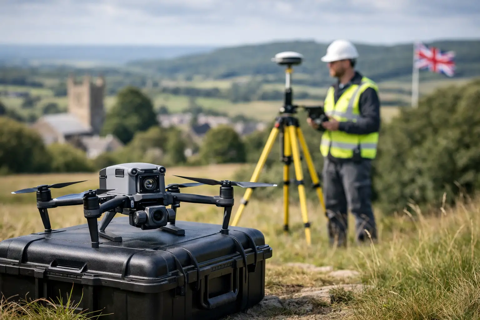
A drone that looks impressive on a spec sheet can still be the wrong tool for a live survey contract. The real question in how to choose survey drone systems is not which aircraft has the longest list of features, but which platform delivers the accuracy, workflow and reliability your project demands.
For professional buyers, that decision sits at the intersection of survey standards, site conditions, regulatory limits and commercial pressure. A construction firm may need fast topographic updates across active earthworks. A utilities team may prioritise safe asset inspection in difficult locations. A land survey practice may need repeatable outputs that drop cleanly into CAD or GIS workflows. The right drone depends on what you need to measure, how precisely you need to measure it, and how often you need to deploy.
How to choose survey drone by project type
Start with the end deliverable rather than the aircraft. If your goal is orthomosaics and surface models for stockpile checks, progress monitoring or general topographic mapping, a photogrammetry drone may be the most cost-effective route. If you need to penetrate vegetation, capture complex vertical structures, or reduce dependence on image overlap and ground texture, LiDAR becomes far more attractive.
That distinction matters because it affects every buying decision that follows. Photogrammetry platforms are often simpler and lower cost, but they rely heavily on lighting conditions, good visual texture and disciplined flight planning. LiDAR systems are more specialised and command a higher investment, yet they can perform much better on wooded corridors, transmission routes, rail infrastructure and difficult terrain.
There is also a middle ground. Some organisations need one platform for several departments. In that case, payload flexibility may matter more than absolute entry price. A modular enterprise drone that can support mapping, inspection and thermal missions can offer stronger long-term value than a lower-cost aircraft designed for only one task.
Accuracy is not just a drone specification
Many buyers focus first on RTK, PPK or claimed centimetre-level accuracy. Those are important, but they are not the full story. Survey accuracy depends on the whole measurement chain: GNSS correction quality, camera or sensor calibration, flight planning, ground control strategy, processing settings and operator competence.
If you are producing outputs for engineering design, quantity calculations or measured surveys, ask what level of absolute and relative accuracy is required by your client or internal standard. Then check whether the proposed drone workflow can achieve that consistently, not just in ideal conditions. A platform with RTK can reduce the need for ground control, but it does not remove the need for validation. On some projects, independent check points remain essential.
This is where professional support matters. A well-specified drone supplied with correction services, setup guidance and processing advice is usually a better investment than a higher-spec aircraft bought in isolation.
RTK, PPK and ground control
RTK gives real-time corrections during flight, which is useful for efficient field operations and fast turnaround. PPK can provide greater resilience where live correction links are weak or intermittent. Ground control still has a place, especially where contractual survey tolerances are tight or where site geometry makes validation more demanding.
The practical answer is rarely one method only. Most professional workflows blend onboard positioning with sensible control and checking.
Payload choice drives capability
When buyers ask how to choose survey drone platforms, payload selection is often the decisive factor. The aircraft is the carrier. The sensor is what earns the result.
For standard mapping, the quality of the RGB camera affects image sharpness, overlap efficiency and final model quality. A large sensor, mechanical shutter and stable gimbal are all worth attention. For inspection-heavy work, zoom capability and thermal imaging may be more relevant than pure mapping performance. For dense vegetation, utility corridors, forestry or detailed terrain modelling, LiDAR payloads can justify themselves quickly.
However, higher capability brings higher weight, more complex workflows and greater processing demands. A LiDAR payload may transform what you can survey, but it also requires stronger expertise in calibration, strip alignment and point cloud handling. If your team is new to airborne data capture, there can be a clear business case for training or outsourced processing alongside the hardware purchase.
Flight performance matters on real sites
Published flight time is helpful, but it should not be taken at face value. Wind, payload weight, temperature and mission profile all reduce endurance. A drone quoted at 45 minutes may deliver considerably less on a cold, exposed UK site carrying a heavier survey payload.
Look at practical productivity instead. How many hectares can it cover per sortie at the required ground sampling distance? How quickly can batteries be rotated? Can it maintain stable positioning in gusty conditions? Is the aircraft compact enough for teams moving between multiple locations in a day?
Reliability also matters more than headline speed. Survey operations need repeatable flight paths, stable hover performance where required, and dependable obstacle sensing around structures and assets. For commercial users, downtime costs far more than a small difference in top speed or brochure range.
Software and outputs should be part of the buying decision
A survey drone is only one part of the workflow. The value sits in the output you can deliver to clients, design teams or asset managers. Before you buy, confirm how data moves from the aircraft into your processing environment and then into CAD, BIM, GIS or asset management systems.
Some platforms are easier than others. A drone that captures excellent data but creates friction in processing can slow your team down and erode margins. Consider whether your operation needs cloud processing, desktop photogrammetry, LiDAR point cloud software, automated reporting or integration with existing geospatial tools.
It is also worth checking whether your supplier can support the full chain. For many organisations, the best result comes from dealing with one specialist that understands aircraft, sensors, corrections, software and deliverables together. That reduces handoff problems and shortens the learning curve.
UK compliance and operational practicality
Any decision on how to choose survey drone equipment in the UK must account for regulation and deployment conditions. The right aircraft for a controlled test field may be awkward on a constrained construction site, around transport infrastructure or in urban environments.
Consider the operational category, pilot competency requirements and site-specific permissions likely to apply to your work. If your team regularly operates near people, structures or sensitive assets, compliance planning becomes part of the business case. Larger and more capable systems can bring performance advantages, but they can also introduce more operational complexity.
Weather resilience is another practical issue. Light rain resistance, ingress protection and wind tolerance can make a major difference over a full year of UK fieldwork. If your business cannot afford frequent weather-related delays, environmental durability should sit high on the shortlist.
Support, training and service should not be afterthoughts
For professional buyers, support is not a soft benefit. It is part of risk control. A drone system that is difficult to commission, hard to troubleshoot or poorly supported can lose time on site and compromise deliverables.
Ask who provides onboarding, firmware support, repair handling, workflow advice and operator training. If your team is moving into LiDAR, RTK-enabled photogrammetry or enterprise inspections for the first time, implementation support can be just as important as airframe quality. LiDAR Tech UK, for example, operates in this space as both a technology supplier and a practical geospatial partner, which is often the difference between owning equipment and using it productively.
This is especially relevant for organisations comparing online resellers against specialist providers. A lower purchase price can become expensive if it leaves your team unsupported when a live contract depends on the system.
Cost should be measured over the workflow, not the invoice
A sensible buying decision looks beyond capital cost. Batteries, controllers, chargers, software licences, correction services, training, maintenance and data-processing time all affect the real cost of ownership.
There is also the cost of under-specifying. If a cheaper drone cannot meet required accuracy, lacks weather resilience or limits the type of jobs you can accept, it may become a false economy. Equally, over-specifying can tie up budget in capability you do not use. The best fit is usually the system that supports your current workload well and leaves enough headroom for the next stage of service growth.
A practical way to decide
If you are comparing options, narrow the decision to five questions. What output do you need to deliver? What level of accuracy must be achieved? What site conditions are typical? Who will operate and process the data? What level of support do you need after purchase?
Those answers usually make the shortlist obvious. A simple photogrammetry workflow may be right for regular topographic updates and site progress. A modular enterprise platform may suit organisations balancing mapping and inspection. A LiDAR-enabled system may be the clear choice where vegetation, vertical assets or complex terrain repeatedly limit image-based surveying.
The best survey drone is the one that fits your measurement standard, your commercial model and your field reality. If you choose with those three factors in mind, you are far more likely to buy a system that keeps delivering once the first demo flight is over.