
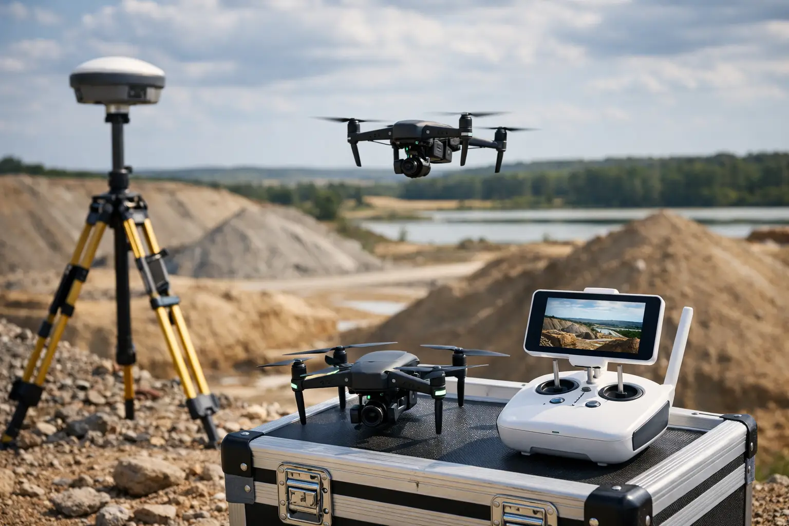
A stockpile figure is only useful when it can be defended. Whether the material is aggregate, topsoil, waste, minerals or recycled product, site managers need a volume that supports commercial decisions, reconciliation and programme planning. This guide to volumetric surveys with drones explains how to capture reliable survey data efficiently, while recognising where flight planning, control and processing can affect the final result.
Drone surveys can reduce the time spent working around active plant, unstable faces and difficult ground. They do not, however, remove the need for sound survey practice. The aircraft collects imagery or laser data quickly; the quality of the final volume still depends on coordinate control, a suitable ground model, clear stockpile boundaries and sensible reporting.
When drone volumetric surveys are the right choice
Drone-based volume measurement is particularly effective where stockpiles are numerous, uneven, inaccessible or changing frequently. A site that might take a survey team several hours to measure conventionally can often be captured in a short flight, with personnel remaining outside the immediate loading and tipping area.
The approach is well suited to quarries, construction compounds, aggregate depots, landfill cells, recycling facilities and earthworks projects. It also produces a permanent visual and spatial record of the site, allowing measurements to be reviewed after the visit rather than relying solely on field notes.
That said, a drone is not automatically the best method for every job. Small, simple piles close to ground level may be faster to measure with an RTK rover. Dense vegetation, standing water, highly reflective surfaces and restricted airspace can all limit what a photogrammetric drone survey can achieve. The required confidence level, site conditions and contractual specification should determine the method.
Choose the right capture method
Most drone volume surveys use photogrammetry. A camera captures overlapping images from above and, where required, from oblique angles. Processing software matches features across those images to create a dense point cloud, orthomosaic and digital surface model. The stockpile volume is then calculated against a defined base surface.
Photogrammetry is a strong option for exposed aggregate, soil and similar materials with visible texture. It is efficient, produces useful site imagery and can deliver dense survey coverage. For a standard stockpile survey, a professional enterprise drone with RTK capability, planned correctly, will often provide the balance of speed and accuracy required.
LiDAR is worth considering where vegetation must be represented, surfaces have limited visual texture, or the project needs a more direct three-dimensional measurement method. It can improve data capture in more demanding environments, but it does not eliminate the need for calibration, trajectory quality checks and appropriate processing. LiDAR and photogrammetry are complementary tools, not interchangeable labels for the same outcome.
Understand RTK, ground control and checkpoints
RTK positioning improves the geotagging of drone imagery by applying real-time corrections from a base station or network correction service. It can reduce the amount of ground control required and speed up deployment. For repeatable professional work, though, RTK should not be treated as a substitute for independent verification.
Ground control points (GCPs) establish known coordinates within the survey area. They help constrain the photogrammetric model, especially on larger sites or where the output must align closely with an established engineering grid. Checkpoints are surveyed independently and withheld from model adjustment. They provide the evidence needed to assess horizontal and vertical accuracy.
The exact control strategy depends on the site, required tolerance and existing survey framework. On a controlled construction project, connect to the project coordinate system and confirm the datum before flying. On a quarry or standalone depot, establish a reliable local framework or use an approved correction service, then record precisely what has been used. A volume calculated in the wrong datum can look plausible while being commercially wrong.
Plan the survey around the decision it must support
Before creating a flight plan, define the intended output. Is the client looking for individual pile volumes, cut-and-fill quantities, a monthly inventory total, or a CAD-ready surface? The answer affects the required area, resolution, control arrangement and reporting format.
For top-down photogrammetry, flight height and camera specification determine ground sample distance. Lower flights generally produce finer detail, but increase flight time, image count and processing demand. A resolution of a few centimetres may be entirely suitable for a large aggregate inventory, while an earthworks verification survey may need a tighter specification and more comprehensive control.
Image overlap must be sufficient for the terrain and material being surveyed. Regular stockpiles with clear texture may process well with a standard nadir mission, whereas steep faces, benches and complex piles benefit from carefully planned oblique imagery. Oblique capture improves coverage of slopes that a straight-down camera cannot see properly. It also increases collection and processing time, so it should be used with purpose.
Plan for operational realities. Check airspace requirements, weather, wind, lighting and site activity. Agree a safe launch area and keep clear of moving plant. On a busy quarry or construction site, a short co-ordination conversation with the site manager can prevent a flight being compromised by dust, haulage movements or fresh material being tipped onto a pile during capture.
Capture data that can be processed with confidence
A consistent field workflow reduces avoidable errors. Survey control first, confirm the drone’s positioning status, complete the flight, then capture any supplementary images or ground observations needed to define the piles and their bases. Photograph control targets and record their identifiers where there is any chance of ambiguity during processing.
Avoid collecting imagery in conditions that reduce surface definition. Low sun can create long shadows across stockpiles, while flat overcast light can make uniform materials harder for software to match. Dust, rain and airborne moisture can affect image quality and create gaps in the model. The best time to fly is not always the earliest available slot; it is the point at which safe access, consistent lighting and stable site conditions align.
The base of a pile deserves particular attention. Drone processing will produce the top surface, but volume cannot be calculated until a reference surface is defined beneath it. If the stockpile is on a known hardstanding, the base may be surveyed directly around the perimeter. If several piles overlap or material sits against a bund, wall or natural ground, the base requires an agreed interpretation. This is often the largest source of variation between two otherwise competent volume calculations.
Process, validate and measure the stockpiles
Processing begins with image quality review. Remove blurred images, confirm that positioning data is present and check that the flight has covered the full site. The imagery is then aligned, georeferenced and converted into a point cloud and surface model. At this stage, inspect the model for holes, distortion, noise and unwanted features such as moving vehicles or excavator booms.
Apply GCPs where used, then review checkpoint residuals. Reported accuracy should be based on independent checkpoints where possible, rather than only on the software’s internal alignment statistics. A low residual does not prove that every part of the model is accurate, but it is an essential quality-control measure.
Stockpile boundaries should be digitised consistently. Define whether the volume includes material on the toe, whether ramps are excluded and how shared boundaries between adjoining piles are allocated. For recurring monthly surveys, retain the same naming convention, boundary logic and reporting basis. Consistency is critical when trends matter as much as a single measurement.
Volumes are commonly calculated between the measured top surface and a triangulated base, a fitted plane or an existing design surface. Each option has a legitimate use. A triangulated base can reflect local ground levels but may be sensitive to perimeter selection. A plane is simple and repeatable but can misrepresent uneven ground. A design surface is appropriate for engineered works where the design is the contractual reference. The report should state which method has been used.
Present results for operational use
A useful deliverable normally includes individual stockpile volumes, total volume where relevant, a labelled plan or orthomosaic, the coordinate reference system, capture date and the volume methodology. For construction and engineering teams, CAD surfaces, point clouds or cut-and-fill reports may also be required. For commercial inventory checks, a concise table with clear pile IDs and cubic-metre totals may be the primary deliverable.
Do not present volume figures with false precision. A result reported to 0.001 m³ can suggest a level of certainty that field conditions, base assumptions and material movement do not support. Match the reporting precision to the survey specification and explain any assumptions that materially affect the figure.
Common causes of unreliable drone volumes
Most poor results are traceable to a small number of issues: inadequate site control, incorrect datum use, insufficient image overlap on steep faces, weak image quality, incomplete coverage at pile toes, or an untested base model. Processing settings can also create problems when aggressive filtering removes valid surface points or when vegetation and plant are left within the measured area.
Repeat surveys introduce another consideration: material movement. If lorries are loading from a stockpile during the flight, the model represents a changing surface rather than a fixed inventory. For high-value reconciliation, agree a cut-off time, pause activity where practical and document any movement that occurred during capture.
Professional drone volume work is therefore less about pressing a button and more about establishing a controlled measurement process. LiDAR Tech UK supports organisations with enterprise drone systems, RTK and GNSS workflows, training and processed survey deliverables, helping teams select a method that fits both their accuracy requirement and their operational environment.
The most dependable volume is the one whose capture date, coordinate system, control checks, pile boundary and base assumption can all be explained clearly when the figure is challenged.