
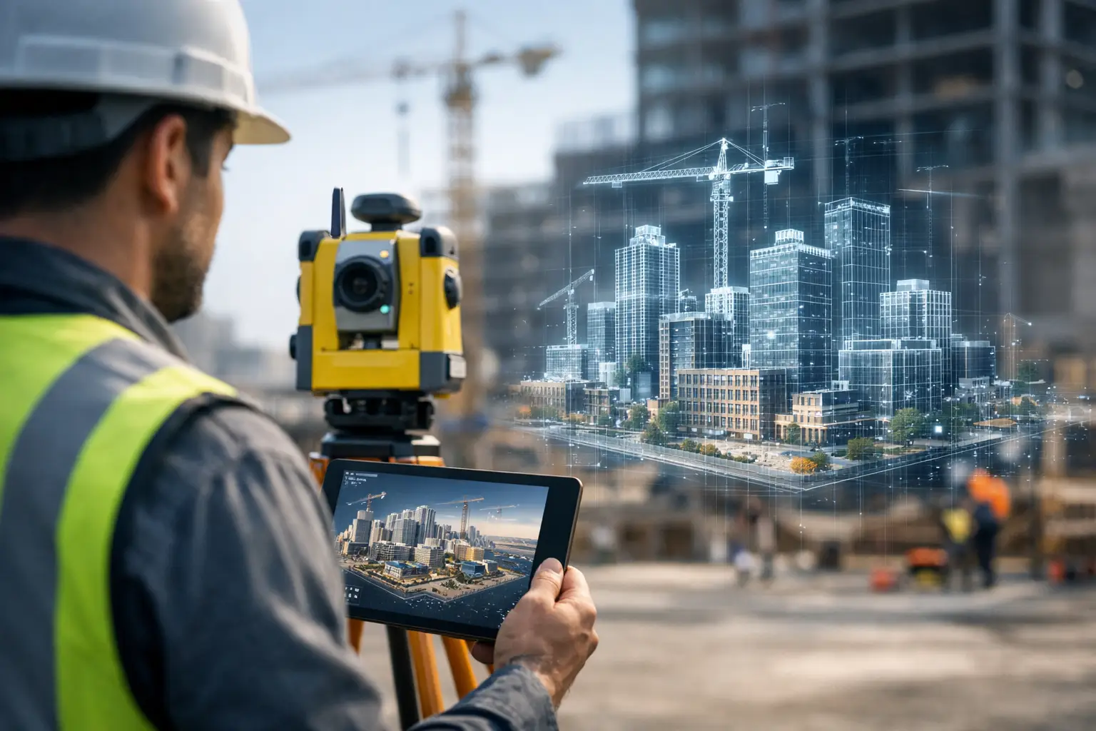
A digital twin survey workflow succeeds or fails long before any point cloud is processed. If the brief is vague, control is inconsistent or outputs are not matched to operational use, even high-quality capture can produce a model that looks impressive but delivers little value. For survey teams, contractors and asset owners, the real question is not whether to build a digital twin. It is how to create one through a repeatable workflow that supports design, inspection, maintenance and decision-making.
For most organisations, a digital twin is not a single file or visualisation. It is a structured representation of a real asset or environment, built from reliable survey data and maintained in a form that other teams can use. That may mean a registered point cloud for BIM coordination, a textured mesh for site context, an inspection-grade model for condition assessment, or a combined dataset that supports asset management over time. The workflow matters because every later decision depends on what happened at capture stage.
What a digital twin survey workflow needs to achieve
A workable digital twin survey workflow has to balance speed, accuracy, coverage and output requirements. Those priorities change by sector. A heritage project may place more emphasis on geometric fidelity and visual detail. A utilities client may care more about positional confidence, repeat visits and clear asset attribution. A construction team may need rapid turnaround and easy coordination with design models.
That is why the first stage is definition, not scanning. Before fieldwork begins, the survey specification should set out the required level of detail, tolerances, site constraints, coordinate system, control method, file formats and intended use. If the final deliverable is only described as a 3D model, there is too much room for error. A digital twin intended for clash detection, stockpile measurement and façade inspection will not be captured or processed in the same way.
This early stage is also where equipment choice becomes commercial, not just technical. Static LiDAR, mobile scanning, RTK GNSS, UAV photogrammetry and drone LiDAR each have strengths. No single method is best in every environment. Large external sites often benefit from drone-based coverage and GNSS control, while plant rooms, corridors and complex structures may require terrestrial or handheld LiDAR to achieve suitable density and line-of-sight coverage.
Planning the digital twin survey workflow on site
Once the brief is fixed, survey planning becomes a matter of controlling risk. Site access, safety, obstructions, lighting, vegetation, weather and live operations can all affect data quality. A workflow that works well on a vacant development plot may struggle on an active infrastructure site with restricted windows and moving machinery.
Control strategy is usually where reliable projects separate from rushed ones. If the aim is an accurate and repeatable digital twin, survey control should never be treated as an afterthought. Ground control points, check points and GNSS observations provide the reference needed to place datasets correctly and verify results. In some projects, local coordinates are enough. In others, especially where the model will support broader asset management or future revisits, tying the survey to a recognised grid is the better decision.
Coverage planning also needs discipline. Overlap is essential, but excessive duplication increases processing time without always improving the final model. The right approach is to plan capture paths and scanner positions around surfaces that matter, areas of occlusion and the required output resolution. Survey teams who understand downstream use will make better field decisions than teams focused only on collecting as much data as possible.
Capture methods and where each fits
The capture stage of a digital twin survey workflow is usually a blend of technologies rather than a single instrument pass. Terrestrial LiDAR remains strong for high-detail structural capture, especially where geometry is complex and access is controlled. Mobile LiDAR can improve efficiency across long corridors, road sections, warehouses and large building interiors where speed is important. Drone photogrammetry is often the most cost-effective choice for roofs, elevations, quarries, earthworks and broad topographic context. Drone LiDAR becomes more attractive when vegetation penetration, difficult terrain or reduced dependence on image texture are important.
There are trade-offs in every combination. Faster capture can mean more noise, more drift risk or lower feature detail. Higher accuracy often means more control, more setup time and more deliberate coverage planning. Dense point clouds can be valuable, but only if the density supports a clear purpose. Capturing millions of extra points that no one uses is rarely efficient.
For many UK projects, a hybrid workflow gives the best result. GNSS and RTK establish control. UAVs cover inaccessible or large external zones. LiDAR scanners capture detail in structures and critical assets. The result is a more complete digital twin, but it also places more pressure on registration and quality assurance later in the workflow.
Processing, registration and quality control
Processing is where raw survey data either becomes a dependable digital asset or starts to lose credibility. Registration is not just a software task. It is a quality-critical step that determines whether multiple scans, flights or sessions align correctly enough for the intended use.
Good registration practice combines automated tools with survey judgement. Cloud-to-cloud methods can be efficient, but they should not replace control and verification where accuracy matters. Residuals, check points and independent comparisons all help confirm whether the dataset performs to specification. If the model will support design coordination or dimensional extraction, small registration errors can become expensive later.
Noise reduction, classification and cleaning also need restraint. Over-processing can remove useful features or smooth geometry that should remain sharp. Under-processing leaves clutter that affects modelling and interpretation. The right balance depends on the deliverable. An engineering survey for measured dimensions requires a different treatment from a visual digital twin for stakeholder review.
At this stage, metadata matters more than many clients realise. Recording when the site was surveyed, what control was used, which areas were excluded and what tolerances were achieved helps protect the long-term value of the dataset. A digital twin is only as trustworthy as the information that supports it.
Turning survey data into usable deliverables
The strongest digital twin survey workflow does not stop at a registered point cloud. It translates survey data into outputs that other teams can use without reinterpretation. Depending on the brief, that could include CAD linework, BIM-ready models, terrain surfaces, orthomosaics, inspection imagery, cross-sections, feature extractions or mesh models.
This is where many projects either generate operational value or create friction. If design teams receive data in the wrong format, or asset managers receive a model with no meaningful structure, the digital twin becomes a visual archive rather than a working resource. Output specification should therefore reflect software environment, naming conventions, level of detail and update requirements from the start.
It also helps to distinguish between visual completeness and survey suitability. A polished model can still be weak for measurement if control and accuracy are not proven. Equally, a point cloud that looks less refined on screen may be the better engineering deliverable if its positional quality is well evidenced.
Why workflow design affects long-term asset value
A digital twin has more commercial value when it can be updated, compared and reused. That depends on consistency. If each survey visit uses different control, different capture extents or different modelling assumptions, change detection becomes difficult and confidence drops. Repeatability is what turns one survey into an operational dataset.
For infrastructure, utilities, estates and industrial sites, the long-term benefit often comes from this repeatability rather than from the initial model alone. Once a survey workflow is standardised, future inspections, expansion works and compliance checks become faster and more defensible. The asset owner is no longer starting from zero every time conditions need to be assessed.
That is also why service support and implementation guidance matter. The right hardware can significantly improve field efficiency, but equipment on its own does not create a reliable digital twin workflow. Teams need suitable control methods, processing discipline, output standards and practical training. For organisations building internal capability, or for those outsourcing delivery, the best results come from aligning technology with a clear survey method rather than treating the digital twin as a software problem.
For buyers assessing options, the useful question is simple: will this workflow produce repeatable, analysis-ready data for the way the asset will actually be managed? If the answer is unclear, the specification needs more work before the first scan is taken.
A digital twin should reduce uncertainty, not add another layer of it. When the survey workflow is planned properly, the outcome is not just a model. It is a dependable spatial record that supports faster decisions, safer operations and better control over the asset long after the site team has left.