
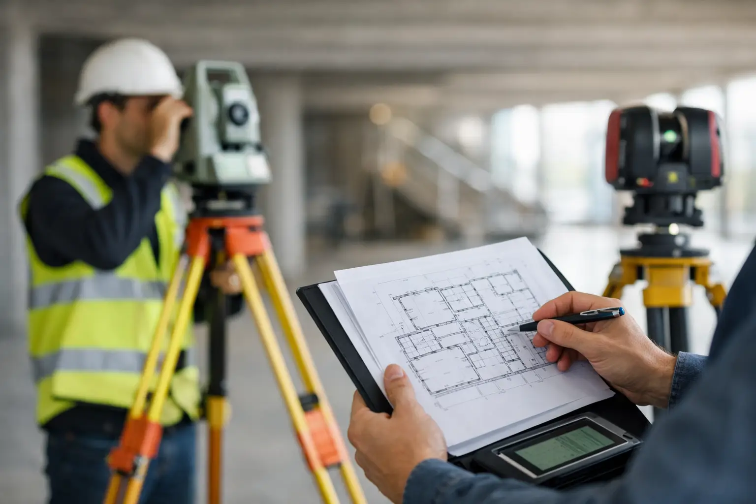
A refurbishment stalls quickly when the drawings do not match the building. Door openings are out by 40 mm, floor levels vary room to room, and a ceiling void hides services no one expected. That is usually when a guide to measured building surveys stops being a nice-to-have and becomes a project requirement.
Measured building surveys provide the dimensional record needed to design, plan, cost and manage work with confidence. For architects, contractors, estates teams and asset owners, the value is simple: fewer assumptions, fewer site returns, and a clearer basis for decisions. The right survey approach can save significant time later, but only if the scope, accuracy and outputs are properly aligned to the job.
What a guide to measured building surveys should cover
At its core, a measured building survey captures the physical geometry of a structure and turns it into usable information. That normally includes floor plans, elevations, sections and, where required, reflected ceiling plans or 3D models. Depending on the brief, it may also record structural elements, openings, floor level changes, roof forms, service features and external details.
The point is not just to measure a building. It is to produce reliable, CAD-ready or model-ready data that supports the next stage of work. For a fit-out contractor, that may mean accurate internal plans. For a heritage consultant, it may mean detailed elevations and sections. For an asset manager, it may be a 3D record that can be reused across maintenance and lifecycle planning.
A common mistake is to treat all measured building surveys as broadly the same. They are not. A simple office floor for lease planning is very different from a listed property with irregular geometry, restricted access and a requirement for high-detail elevations. Scope drives method, cost and programme.
When a measured building survey is needed
Most projects call for a measured survey when existing information is incomplete, outdated or unreliable. That is common in older buildings, multi-phase sites, altered interiors and operational estates where drawings have not kept pace with change.
Typical use cases include refurbishment, extension design, space planning, facade assessment, heritage recording, dilapidations support, fire strategy updates and change-of-use projects. Building owners also commission surveys before disposal, acquisition or major maintenance planning, especially where downstream teams need dependable base information.
There is also a practical risk point here. If multiple consultants work from inconsistent records, coordination problems appear early. Mechanical layouts clash with structure, ceiling heights are misread, and stair geometry causes compliance issues. A well-specified survey reduces that risk before it spreads through design and construction.
Survey methods and where each one fits
Traditional total station and tape-based methods still have a place, particularly for straightforward or smaller jobs. They can be effective where access is easy and the required output is limited. The trade-off is speed and completeness. Manual capture is more selective by nature, so omissions are more likely if the brief is not tightly controlled.
Laser scanning has become central to modern measured building surveys because it captures dense spatial data quickly and with a high level of detail. Complex interiors, irregular facades, plant areas and multi-level environments benefit most. A point cloud gives the project team a far richer reference set than isolated measured points, which is particularly useful when designs evolve after the site visit.
Mobile mapping and handheld LiDAR can also add value, especially where speed on site matters or access conditions make static setups less efficient. That said, suitability depends on required accuracy, geometry complexity and final deliverables. Faster capture is not automatically the best option if the end use demands stricter tolerances or highly controlled outputs.
Photogrammetry can support facade work, roof areas and visually complex heritage environments, often alongside laser scanning rather than instead of it. In many projects, the strongest workflow is hybrid: the method is chosen around the building, the brief and the accuracy requirement, not the other way round.
Accuracy, tolerance and level of detail
Accuracy is one of the first questions buyers ask, and rightly so. But it needs context. There is no single “accurate enough” standard for every building survey. A layout for general space planning may tolerate less detail than fabrication support, conservation documentation or intrusive structural coordination.
What matters is agreeing expected tolerances at the start. That should cover not only measurement accuracy, but also what is being represented in the final output. For example, are skirtings, beams, soffits, service penetrations or visible structural distortions to be shown? Are floor levels required throughout or only at key thresholds? Is roof geometry needed for design, or simply for outline reference?
Level of detail directly affects both field time and processing time. More detail is not always better. If a client commissions a highly detailed survey for an early feasibility stage, they may be paying for information that will not be used. Equally, under-specifying a survey can create a false economy if teams later need revisits to capture missing elements.
Outputs: what clients should expect
The most common deliverables are 2D floor plans, elevations and sections in CAD format, often supported by PDF issue sheets. For many commercial and public-sector projects, that is still the most practical baseline.
However, 3D outputs are increasingly requested, especially for coordination, visualisation and estate data reuse. Depending on the requirement, this may mean a registered point cloud, a Revit model, or a structured 3D representation built to an agreed level of information need. Not every project needs BIM-ready outputs, but where future phases depend on coordinated digital records, 3D can provide a much stronger long-term asset.
Clients should also be clear about file compatibility and naming conventions. A technically strong survey loses value if the design team cannot integrate the data easily. Output requirements should therefore include formats, layering standards, control information and any project-specific modelling conventions.
What affects cost and programme
Survey pricing is shaped by more than building size. Complexity of geometry, number of levels, access restrictions, occupancy, required control, output detail and programme constraints all influence cost. So does site condition. A clean, vacant floorplate is much faster to capture than an occupied healthcare environment or a live industrial facility.
Programme depends on both site capture and office processing. Clients sometimes underestimate the production stage, especially for detailed elevations, sections and 3D models. Capturing the data may take a day or two, but validation, registration, drafting and quality assurance can take considerably longer.
There is also a commercial decision around timing. Early survey appointment often improves design efficiency because the team works from verified geometry from the outset. Delaying the survey to save budget can push uncertainty into later stages where design changes cost more.
Choosing the right survey partner
A measured building survey is only as useful as the team delivering it. Technical capability matters, but so does project understanding. The best survey partner will ask focused questions about end use, tolerances, constraints and downstream deliverables before proposing a method.
For professional buyers, the key checks are straightforward. Can the supplier demonstrate experience with similar building types? Do they have the right capture technology for the site conditions? Can they produce outputs that fit your CAD or BIM workflow? Do they have the capacity to support urgent programmes or phased delivery if needed?
It is also worth assessing whether the provider can support beyond data capture. On more complex projects, value comes from a joined-up service – fieldwork, processing, quality control, technical advice and, where needed, additional geospatial support. That is often where a specialist provider such as LiDAR Tech UK offers a commercial advantage, particularly for organisations that need both survey delivery and access to modern spatial capture technology.
Common problems and how to avoid them
Most issues with measured building surveys begin before anyone goes to site. The brief is vague, key areas are omitted, or stakeholders assume someone else has defined the required output. The result is usually rework.
A better approach is to lock down purpose, survey extent, level of detail, access arrangements and file requirements at the start. If there are sensitive areas, restricted working hours, occupied zones or health and safety controls, these should be addressed in the survey planning stage rather than on the day.
Clients should also be realistic about hidden conditions. A measured survey records what is visible and accessible at the time of capture unless the brief specifically includes intrusive investigation. Ceiling voids, concealed structure and covered service runs often need separate investigation if they are critical to design.
Guide to measured building surveys for better project decisions
The strongest reason to commission a measured building survey is not simply to obtain drawings. It is to reduce uncertainty. Accurate spatial data supports better design decisions, clearer coordination, tighter quantities and fewer surprises on site.
That benefit is highest when the survey is specified properly. Match the method to the building, match the detail to the project stage, and make sure the outputs fit the way your team actually works. If you get those decisions right at the beginning, the survey becomes more than a record of the existing structure – it becomes a dependable base for everything that follows.
If your project depends on accurate building geometry, the right time to define the survey is before assumptions make their way into design.