
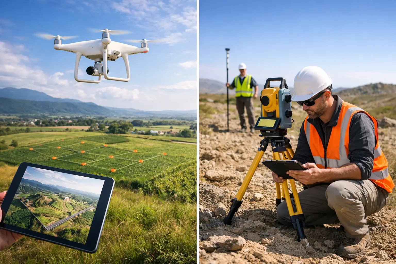
A 40-hectare construction site does not always need weeks of boots-on-the-ground measurement. Equally, a drone flight cannot establish a reliable kerb line beneath dense tree cover or set out structural elements to millimetre-level tolerances. The decision between drone mapping versus ground survey should be based on the required accuracy, site conditions, deliverables and programme – not on which technology appears quicker at first glance.
For most professional projects, the strongest answer is not drone or ground survey. It is a planned workflow that uses each method where it produces the most dependable result.
Drone Mapping Versus Ground Survey: The Core Difference
Drone mapping captures a large volume of spatial data from above. Using photogrammetry or drone-mounted LiDAR, teams can produce orthomosaics, point clouds, surface models, contours, stockpile volumes and 3D meshes across substantial areas in a short field visit. This makes it particularly effective for topographic mapping, progress monitoring, quarry surveys, land management and inaccessible asset inspections.
Ground survey measures selected points, lines and features directly from the site. GNSS/RTK rovers, total stations, terrestrial LiDAR scanners and conventional levelling techniques give surveyors close control over feature capture and coordinate quality. They remain the preferred choice where detail is obscured from the air, where levels must meet a tight tolerance, or where legal boundaries and setting-out decisions are involved.
The difference is therefore not simply speed versus precision. Both can be highly accurate when specified, controlled and processed correctly. The real distinction is data density and perspective. A drone rapidly provides broad-area coverage and visual context. A ground crew can verify critical features at source and work around obstructions that aerial sensors cannot see through.
Accuracy Depends on Control, Not the Platform Alone
Claims that drones are inaccurate, or that ground methods are automatically more accurate, are both too simplistic. Accuracy depends on the sensor, flight or observation plan, coordinate reference system, site control, processing method and quality assurance.
For drone photogrammetry, RTK positioning can improve image geotagging and reduce the number of ground control points needed. It does not remove the need for validation. Independently surveyed checkpoints are still the sound way to confirm that an orthomosaic or terrain model meets the required horizontal and vertical accuracy. Ground control is especially valuable on sites with changing elevation, weak GNSS conditions or a requirement for defensible survey reporting.
Drone LiDAR can provide useful topographic data where photogrammetry struggles, particularly around partial vegetation cover. However, its results still need suitable GNSS and IMU performance, careful trajectory processing and ground checks. Dense woodland, steep terrain and poor satellite visibility can all affect the final dataset.
Ground survey offers more direct control for individual features. A total station can capture a precise breakline, drainage channel, building corner or rail feature without relying on pixel matching or aerial visibility. Digital levels remain appropriate when transferring critical levels across a project. Where a specification calls for centimetre-level terrain data across a wide site, a controlled drone survey may be suitable. Where it calls for millimetre-level setting out or precise structural monitoring, conventional ground methods should lead.
Coverage and Productivity on Large Sites
This is where drone mapping has a clear operational advantage. A surveyor can collect imagery or LiDAR across areas that would take a ground crew many hours or days to traverse, particularly on rough, muddy or recently disturbed ground. The output is also richer than a sparse set of measured points: project teams receive a visual record of the site alongside measurable spatial data.
For earthworks, landfill cells, aggregates, highways corridors and development sites, regular drone flights can establish a repeatable record of change. Comparing successive surface models helps quantify cut and fill, track stockpile movement and identify whether construction is progressing against the intended programme.
Ground survey becomes comparatively time-consuming when the brief requires full coverage over a large open area. It is still highly effective for targeted work, such as capturing service chambers, kerbs, building thresholds, drainage inverts and other defined features. The productivity question is not whether a crew can measure these points, but whether it is commercially sensible to measure every metre of a site manually when aerial capture can provide the wider terrain model.
Access, Safety and Site Constraints
Aerial survey reduces exposure to hazards. It can capture roofs, unstable slopes, water margins, quarries, rail-adjacent areas and restricted zones without placing an operative directly in the hazard area. This is a significant benefit, but it does not mean drone operations are risk-free.
UK drone work requires appropriate planning around airspace, people, structures, weather, take-off and landing areas, and the specific operating environment. Wind, rain, low light and poor visibility can delay missions. A site near an airport, prison, critical infrastructure location or busy public area may require additional permissions, coordination or a different survey approach.
Ground survey can continue in places where a drone cannot operate, but it introduces its own risks. Survey teams may face moving plant, uneven ground, traffic, water, confined spaces or difficult access. A sensible method statement considers the hazards of both approaches rather than assuming the airborne option is automatically safer.
Vegetation, Obstructions and Feature Visibility
Photogrammetry works best when the ground surface is visible from above. Long grass, crops, scrub, standing water, shadows and reflective materials can reduce the quality of an aerial terrain model. It may produce an attractive image while failing to represent the true ground level beneath vegetation.
LiDAR is often the stronger drone option for corridors and woodland because laser pulses can return from gaps in the canopy. Even then, dense vegetation is not a guarantee of complete ground penetration. Classification needs experienced processing, and critical areas should be checked on the ground.
Ground survey is the practical answer for hidden detail. Surveyors can measure beneath canopies, around building overhangs and inside areas where line-of-sight permits. Terrestrial LiDAR can also capture façades, plant rooms, structures and complex built assets with far greater detail than an overhead drone flight. For many sites, drone data maps the open ground while targeted ground observations close the gaps.
Deliverables Should Drive the Method
Before selecting equipment or appointing a survey provider, define the output that the design, commercial or asset-management team actually needs. A planning team may need a current orthomosaic and a broad topographic model. A quantity surveyor may need a verified stockpile volume. A civil engineer may need CAD-ready breaklines, spot levels and drainage features. An asset manager may need a colourised point cloud or inspection imagery.
Drone mapping is well suited to large-area deliverables: orthomosaics, digital surface models, digital terrain models, contours, volumetrics and visual 3D models. Ground survey is typically better for detailed CAD feature capture, setting out, monitoring points and surveys of obscured or internally located assets.
The final deliverable must also be understood in context. A high-density point cloud is not automatically a usable design model. It needs the correct coordinate system, filtering, classification, validation and export format. The value lies in data that can be used confidently in CAD, GIS, BIM or engineering workflows, not simply in collecting more points.
Cost: Compare the Whole Workflow
A drone survey can reduce field time substantially, but the cheapest flight is not always the lowest-cost survey. Costs can rise when control is inadequate, processing is poorly specified, access planning is overlooked or the required outputs have to be recreated manually afterwards.
Likewise, sending a ground crew to capture a few hundred points may be economical for a compact site with a clear, defined brief. It becomes less attractive when the site is extensive, hazardous or requires repeat measurement every fortnight. The right comparison includes mobilisation, field time, permissions, control, processing, quality checks, deliverable preparation and the cost of rework.
Organisations purchasing their own systems should also consider training, operational procedures, correction services, processing software and technical support. Enterprise drone and GNSS equipment performs best as part of a complete survey workflow, not as an isolated hardware purchase.
A Combined Survey Workflow Usually Produces the Best Result
For many UK construction, infrastructure and land projects, a hybrid method is the most commercially sound approach. Establish survey control with GNSS, total station or levelling methods. Use the drone to capture efficient site-wide imagery or LiDAR. Validate the aerial model against independent checkpoints, then supplement hidden, critical or tolerance-sensitive features with ground observations.
This approach provides broad coverage without losing confidence in key measurements. It also gives project teams a current visual record while supplying survey-grade data for design and commercial decisions. The method can be repeated throughout the programme, creating consistent datasets rather than disconnected site snapshots.
LiDAR Tech UK supports this type of workflow through professional drone, GNSS/RTK and LiDAR solutions, backed by technical guidance, training and survey data services. The right starting point is a clear definition of the decision the data needs to support, the tolerance that decision demands and the conditions found on site. Once those are known, the appropriate balance between aerial and ground capture becomes much easier to specify.