
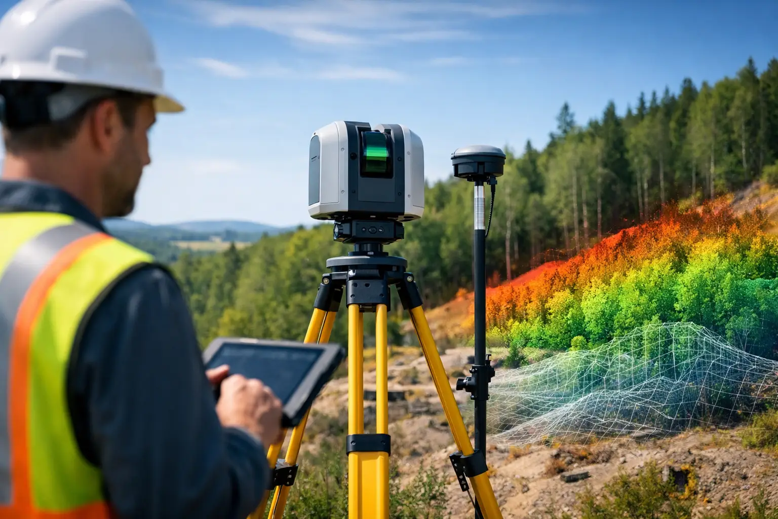
A site with broken ground, dense vegetation and restricted access will expose the limits of conventional methods very quickly. That is usually the point where the question shifts from whether LiDAR is useful to when should surveyors use LiDAR as the primary capture method. For many professional teams, the answer comes down to speed, safety, surface complexity and the level of detail the client actually needs.
LiDAR is not a universal replacement for total stations, GNSS or photogrammetry. It is a high-value tool when project conditions reward rapid 3D capture, repeatable coverage and reduced time on site. Used in the right setting, it can shorten field programmes, improve site safety and deliver denser datasets for design, measurement and asset records.
When should surveyors use LiDAR on a project?
Surveyors should use LiDAR when conventional workflows become too slow, too risky or too limited for the job in hand. That commonly includes topographic surveys over large or uneven ground, corridor mapping, stockpile measurement, façade and building documentation, vegetation-covered terrain, and asset inspection where physical access is poor.
The core advantage is data density. Instead of recording selected points, LiDAR captures a detailed point cloud across the site or structure. That changes what the survey team can deliver afterwards. Measurements that were not specified on day one can often still be extracted later, which reduces return visits and gives design teams more complete context.
Just as important is speed. Mobile, handheld, terrestrial and drone-based LiDAR systems can cover substantial areas in less time than traditional point-by-point methods. On active construction sites, rail environments, highways and utility corridors, less time in the field often means lower operational disruption and lower exposure to hazards.
The clearest use cases for LiDAR
Large areas where speed matters
If the brief involves extensive coverage and a compressed programme, LiDAR is often the stronger option. Walking a site with a scanner or flying a LiDAR-equipped drone can capture terrain and features far faster than relying purely on manual observation and discrete measurements.
This matters for land development, route planning and pre-construction surveys. When teams need accurate ground models quickly to support design decisions, LiDAR can improve both productivity and turnaround. The commercial value is straightforward – more area captured per day, with fewer gaps in the dataset.
Complex surfaces and irregular geometry
Retaining walls, embankments, bridge elements, pipework, plant rooms and heritage structures are difficult to represent properly with sparse point collection. LiDAR performs well where shape matters. The denser the geometry, the more value there is in collecting a continuous 3D record rather than isolated shots.
For measured building surveys and as-built documentation, this is especially relevant. Design and engineering teams often need more than coordinates. They need spatial relationships, deformation evidence and reliable dimensional detail. LiDAR supports that level of capture far better than a minimal point-based approach.
Vegetated or obstructed terrain
One of the strongest arguments for LiDAR is its performance in environments where photogrammetry struggles or line of sight is inconsistent. In woodland, overgrown boundaries, embankments and undeveloped land, LiDAR can help identify terrain beneath vegetation, particularly when deployed from airborne platforms and processed correctly.
That does not mean every wooded site automatically requires LiDAR. Density of canopy, scanner specification, flight planning and target accuracy all affect results. Even so, where ground extraction through vegetation is a project requirement, LiDAR is often the more dependable route.
Hazardous or hard-to-access locations
Surveyors should use LiDAR where reducing physical exposure is a priority. This includes quarries, unstable slopes, highways, rail corridors, roofs, façades, substations, water margins and industrial facilities with operational constraints.
Remote capture keeps personnel out of live or difficult areas for longer periods. Drone LiDAR and long-range terrestrial scanning are particularly useful here. In many cases, the safety case is as strong as the productivity case. If a site can be surveyed accurately without placing staff close to moving plant, traffic or fragile edges, that is a serious operational advantage.
When LiDAR is better than photogrammetry
Photogrammetry remains an effective and cost-efficient method for many surveys, especially where high-quality imagery, good texture and clear overlap are achievable. However, it is not always the best fit.
LiDAR tends to outperform photogrammetry when the site has poor visual texture, variable lighting, vegetation cover or a need for dependable geometric capture in complex environments. It also avoids some of the reconstruction weaknesses that appear in repetitive or reflective surfaces.
That said, there are projects where photogrammetry is entirely sufficient, or where a combined approach produces the best result. Imagery adds visual context, while LiDAR supplies reliable geometry. For commercial buyers, the right question is not which technology sounds more advanced. It is which workflow meets the required accuracy, output and budget with the least operational friction.
When LiDAR is not the best choice
Small, simple surveys with limited output needs
If the job is a straightforward boundary check, a small setting-out exercise or a basic topographic task with limited feature complexity, LiDAR may be unnecessary. Traditional total station and GNSS workflows can be more economical and entirely adequate.
The decision should reflect the output specification. If the client only needs a modest number of verified survey points or simple CAD linework, generating a full point cloud may add processing overhead without adding enough value.
Projects with tight budgets and no need for dense data
LiDAR can reduce field time, but it also introduces equipment cost, processing requirements and data management considerations. For lower-value projects with basic deliverables, that trade-off may not stack up.
Professional buyers should look beyond capture speed alone. The full workflow matters – acquisition, control, registration, classification, modelling and final deliverables. LiDAR is strongest when the project can make commercial use of that richer dataset.
Environments where control and specification are poorly defined
LiDAR is not a shortcut around survey discipline. If control is weak, coordinate requirements are unclear or the expected accuracy has not been properly specified, a LiDAR workflow can produce a large volume of data without producing decision-grade results.
This is why implementation matters. Equipment capability is only part of the equation. Survey control, calibration, platform choice and processing standards determine whether the output is fit for engineering, planning or asset management use.
Choosing the right LiDAR method
Terrestrial LiDAR
Static terrestrial scanning suits detailed capture of buildings, façades, plant, interiors and fixed infrastructure. It is well suited to high-detail as-built work where accuracy and completeness are more important than maximum area coverage.
Mobile and handheld LiDAR
Mobile systems are effective for rapid site walks, indoor-outdoor transitions, warehouses, construction progress and areas where speed is critical. They can be very efficient, though expected tolerances and loop closure performance should always be matched to the job.
Drone LiDAR
Drone-mounted LiDAR is often the strongest option for large, inaccessible or vegetated areas. It is widely used for topography, utilities, forestry, corridors and volumetric work. Flight planning, scan density and GNSS/RTK performance remain central to final quality.
A practical test for deciding when should surveyors use LiDAR
A simple decision framework helps. Surveyors should lean towards LiDAR when four factors are present at once: the site is large or complex, physical access is difficult, the required output benefits from dense 3D data, and programme pressure makes long field sessions undesirable.
If only one of those factors applies, LiDAR may still be suitable, but the case is weaker. If three or four apply, LiDAR is usually worth serious consideration. That is where it moves from interesting technology to a practical commercial tool.
For organisations managing repeated surveys across construction, infrastructure or land assets, standardising a LiDAR workflow can also improve consistency between projects. The benefit is not just faster capture. It is a more reliable path from field data to usable deliverables.
LiDAR Tech UK works with clients who need that decision to be based on specification and outcome, not guesswork. Whether the requirement is equipment supply, deployment advice or outsourced capture, the right answer starts with the survey objective.
The most effective surveying teams do not ask whether LiDAR is fashionable. They ask whether it will give them safer capture, better data and a stronger result for the client – and that is usually the right moment to use it.