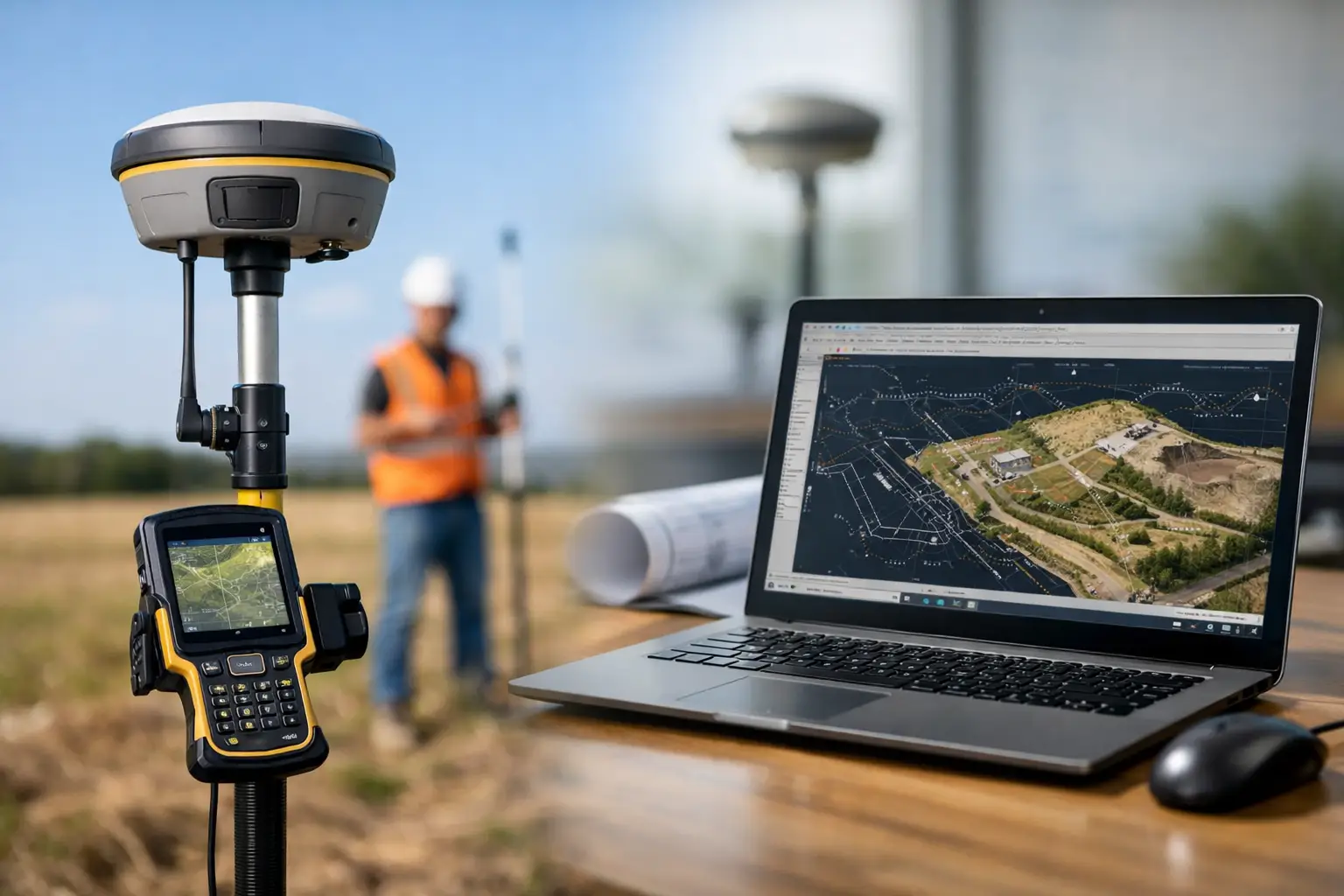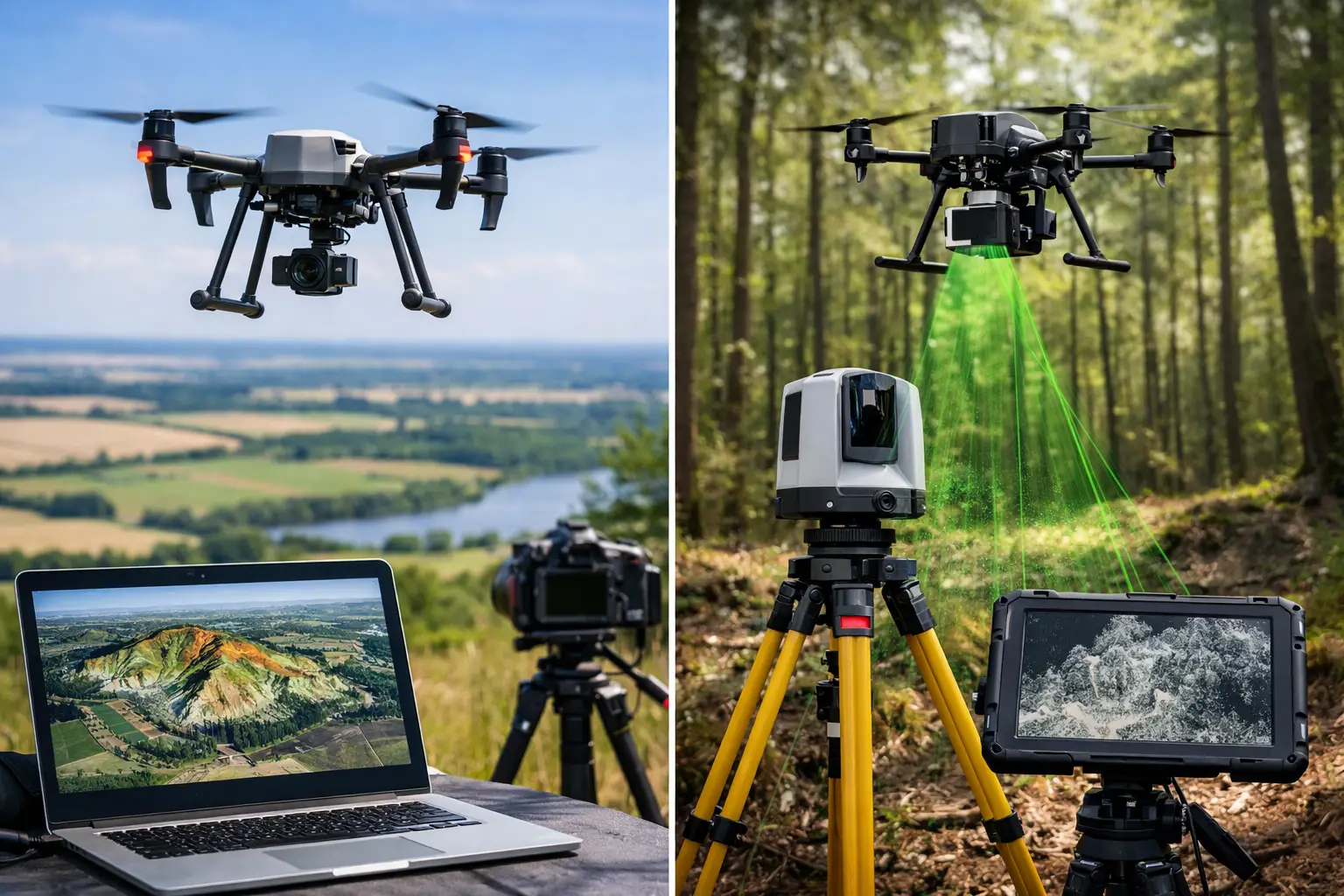
A rover can be capable of centimetre-level RTK positioning, but its performance in the field is only as dependable as the correction data reaching it. Knowing how to choose an NTRIP correction service is therefore not an administrative procurement task. It directly affects survey confidence, productive working hours, repeatability and the risk of returning to site to resolve avoidable positional discrepancies.
For UK survey, construction, machine-control, mapping and asset-management work, the right service is the one that delivers suitable corrections where you work, in a format your equipment can use, with support that does not disappear when a site team needs help. The lowest subscription price is rarely the full picture.
Start with the accuracy your work actually requires
NTRIP, or Networked Transport of RTCM via Internet Protocol, delivers GNSS correction data to a rover over a mobile internet connection. It is commonly used to support RTK measurements, where a compatible rover can resolve positions to centimetre-level accuracy under appropriate conditions.
That does not mean every NTRIP service will produce identical results on every job. Accuracy depends on the whole positioning chain: satellite visibility, multipath, mobile-data quality, antenna setup, rover capability, correction age and the reference network itself. A correction subscription cannot compensate for poor sky view beside steelwork, dense woodland, high buildings or active plant.
Define the operational tolerance before comparing suppliers. Boundary surveys, setting out, topographic surveys and CAD-ready as-builts may require repeatable centimetre-level positions. Agricultural guidance, reconnaissance or general site capture may have a different tolerance and workflow. Be specific about whether you need horizontal accuracy only, reliable levels, or both. Vertical work deserves particular scrutiny because coordinate reference systems, geoid models and datum handling can materially affect reported heights.
Ask prospective providers what level of performance they expect in your intended area and under what assumptions. A credible answer will distinguish between network capability and field conditions rather than promising a universal result.
Check network coverage where work happens
A UK-wide coverage map is useful, but it should be the beginning of the assessment, not the decision. Your team may work nationally, operate along a particular rail or utility corridor, or spend most of its time in a few rural counties. Test coverage at representative locations, including the edge of the advertised service area.
Network RTK services use permanent reference stations to model and transmit corrections. Station density and network design influence how effectively the service represents local atmospheric conditions. This is particularly relevant for projects near a network boundary or in areas with fewer nearby reference stations.
Also separate GNSS correction coverage from mobile network coverage. NTRIP needs an internet path between the rover and caster, normally through a SIM card and mobile-data connection. A correction service may be available at a site while the selected mobile operator has weak or inconsistent signal there. For remote forestry, upland, infrastructure and rural construction work, assess both elements together.
A practical trial should include a cold start, a normal working session and a return visit. Record time to obtain a fixed solution, correction age, fix stability and repeat measurements on known points. This exposes problems that a coverage map cannot show.
Confirm mountpoints, constellations and data formats
Not all NTRIP mountpoints are equivalent. A provider may offer single-base streams, network solutions such as VRS, nearest-station streams, or MAX-style network corrections. The most suitable option depends on the rover, the project area and how the network is configured.
A virtual reference station stream can provide corrections tailored to the rover’s approximate location, often supporting efficient RTK work across a wide network. A nearest-station stream may be a sensible option in some circumstances, but users should understand the baseline length and its potential impact. Your equipment supplier or technical team should be able to advise which mountpoint is appropriate for the receiver and application.
Check compatibility before committing. Confirm that the rover supports the correction format supplied, commonly RTCM 3.x, and that it can receive the available satellite constellations and signals. Modern professional GNSS equipment will often use GPS, Galileo, GLONASS and BeiDou, but the usable combination depends on both the receiver and the correction stream.
The service should also support your connection method. Most rovers connect directly using a SIM card, but some workflows route corrections through a controller or field software. Confirm that credentials, mountpoint selection and reconnect behaviour are straightforward for operators in the field. A technically compatible service that needs repeated manual intervention can erode the productivity gains RTK is meant to deliver.
Assess reliability, not just stated availability
Correction interruptions cost more than a few minutes of waiting. They can stop setting-out work, delay checks before a concrete pour, interrupt drone ground-control collection or leave an inspection team unable to complete positional records. Ask how the provider monitors its infrastructure, manages planned maintenance and communicates service incidents.
Useful questions include whether there is a stated availability target, whether the network has resilient hosting and communications, and what happens if an individual reference station is unavailable. You should also establish whether the account has connection limits. A subscription suitable for one rover can become a problem when a second crew, subcontractor or machine-control team attempts to connect using the same login.
Look beyond headline uptime. In practice, a service needs stable corrections, prompt reconnection after a mobile outage and sensible support procedures when a receiver will not fix. A trial during live work is much more valuable than a short office demonstration.
Review coordinates, datums and height outputs
For professional UK work, coordinate handling must fit the deliverable, not merely produce a plausible location on a map. Establish whether the service and rover configuration support the coordinate reference system required by your client, design model or survey control. Confirm how the workflow handles British National Grid where required, transformations and vertical datums.
Ellipsoidal heights are not the same as orthometric heights used in many engineering and survey deliverables. A geoid model is needed to convert between them, and the selected model must be appropriate to the job specification. If you are tying into existing control, verify the transformation and height setup with checks on known points before collecting production data.
This responsibility is shared across the correction service, GNSS receiver, field software and survey procedure. Do not assume an NTRIP login alone makes the entire workflow compliant with a client specification.
Consider support, onboarding and accountability
For experienced survey teams, setup may take minutes. For larger organisations rolling out rovers across several crews, implementation quality matters more. A useful supplier can help configure profiles, select mountpoints, test SIM connectivity, set coordinate systems and train users to recognise float versus fixed solutions.
Support should be assessed against your working pattern. If teams operate early starts, weekends or nationwide projects, clarify response channels and escalation arrangements. Ask whether the provider can investigate account access, caster connection and configuration issues, rather than simply referring every problem elsewhere.
This is especially valuable when corrections form part of a wider workflow involving RTK rovers, mobile mapping, drone survey or machine control. Working with a specialist that understands the equipment and the deliverable can shorten commissioning and reduce uncertainty when a field issue occurs.
Compare total operating cost and contract flexibility
Price should be transparent: subscription term, number of simultaneous devices, data allowances, activation fees, replacement credentials and any fair-use limits should be clear before purchase. Annual plans often reduce the effective monthly cost, while short-term access may suit a defined project or an equipment trial.
Consider the cost of downtime alongside the licence fee. A modest saving is difficult to justify if unreliable corrections leave a survey crew idle, force a return visit or compromise setting-out checks. Conversely, a premium service may be unnecessary if your work is occasional and tolerances are less demanding. The right decision depends on exposure to risk, number of users and the value of consistent field output.
A practical way to choose an NTRIP correction service
Before making a final selection, run a controlled field evaluation. Use the same rover, antenna position and controller setup you will deploy on projects. Test the service at typical and difficult locations, occupy known control where possible, and repeat observations after a break in connection. Check fix time, correction age, coordinate repeatability, height agreement and the ease of reconnecting.
Document the setup that worked, including APN, caster address, port, mountpoint, login details, coordinate system and geoid selection. This turns a successful trial into a repeatable configuration for every crew rather than knowledge held by one operator.
LiDAR Tech UK can assist organisations that need to align RTK equipment, correction access and survey workflows into a dependable field-ready setup. The most useful correction service is not simply the one with the broadest claims on paper, but the one your teams can connect to confidently and verify against control before the work that matters begins.